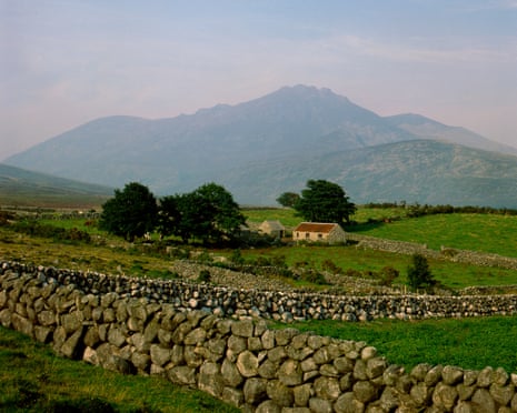
What is recorded here
Marked on 1904 and 1939 OS 6-inch maps as 'Mound', on barony boundary between East Muskerry and Duhallow. In high open bogland on top of Boggeragh Mountains. Site not located.
The above description is derived from the published 'Archaeological Inventory of County Cork. Volume 3: Mid Cork' (Dublin: Stationery Office, 1997). In certain instances the entries have been revised and updated in the light of recent research.
Date of upload/revision: 14 January 2009
The monument record does not grant public access. Check the route and ask the landowner before entering private land.
- What survives
- Recorded monument
Places near here
 RoadRoad, unclassified togher · 465 yd
 Caheravelane Ho (in Ruins)House, indeterminate date · 952 yd
 Cliff-edge fort in BarrahaurinCliff-edge fort · 1.3 mi
 Stone CircleEnclosure · 2.0 mi
 Knockduff Wind FarmVisitor information · 2.2 mi
 Eagle's NestMountain / peak · 2.2 mi
 Knockcraugh HillMountain / peak · 2.5 mi
 Saint Bartholomew's WellSpring · 3.7 mi
 New TipperaryVisitor information · 4.2 mi
 Mount Hillary - Knightfield LoopWalking route · 6.4 mi
 Blackwater (Duhallow) WayWalking route · 6.8 mi
 Paddy Mulcahey 2009Memorial · 7.3 mi
Other information
Photo: Credit not shown in the picture search · Rights wording not checked; contact us if this picture should be removed