What is recorded here
From the National Monuments Service (Archaeological Survey of Ireland) record CO007-104001
Places near here
Photo credits
- National Inventory of Architectural Heritage
- Maker not stated on source page, www.youtube.com
- Maker not stated on source page, www.alamy.com
- Maker not stated on source page, in.pinterest.com
- Kmcnamee, Wikimedia Commons · CC BY-SA 4.0
- Maker not stated on source page, en.wikipedia.org
- Mike Searle, Wikimedia Commons · CC BY-SA 2.0
- Unknown author Unknown author, Wikimedia Commons · Public domain
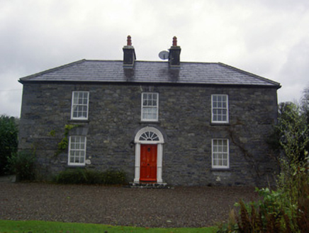 Fort MoylanHouse · 974 yd
Explorer Tom Fort Moylan in Lackeen isn’t really a fort at all, but the name gives it that extra military swagger we didn’t know we…
 Knockhouse FarmFarm house · 1106 yd
Explorer Tom Knockhouse Farm in Ballynaboul was erected by Henry Perceval, the Earl of Egmont, who probably thought his farm needed…
 Enclosure in BallynaboulEnclosure · 1318 yd
Explorer Tom Enclosure in Ballynaboul is so invisible it would order extra vinegar with its chips to hide. You can barely see it on…
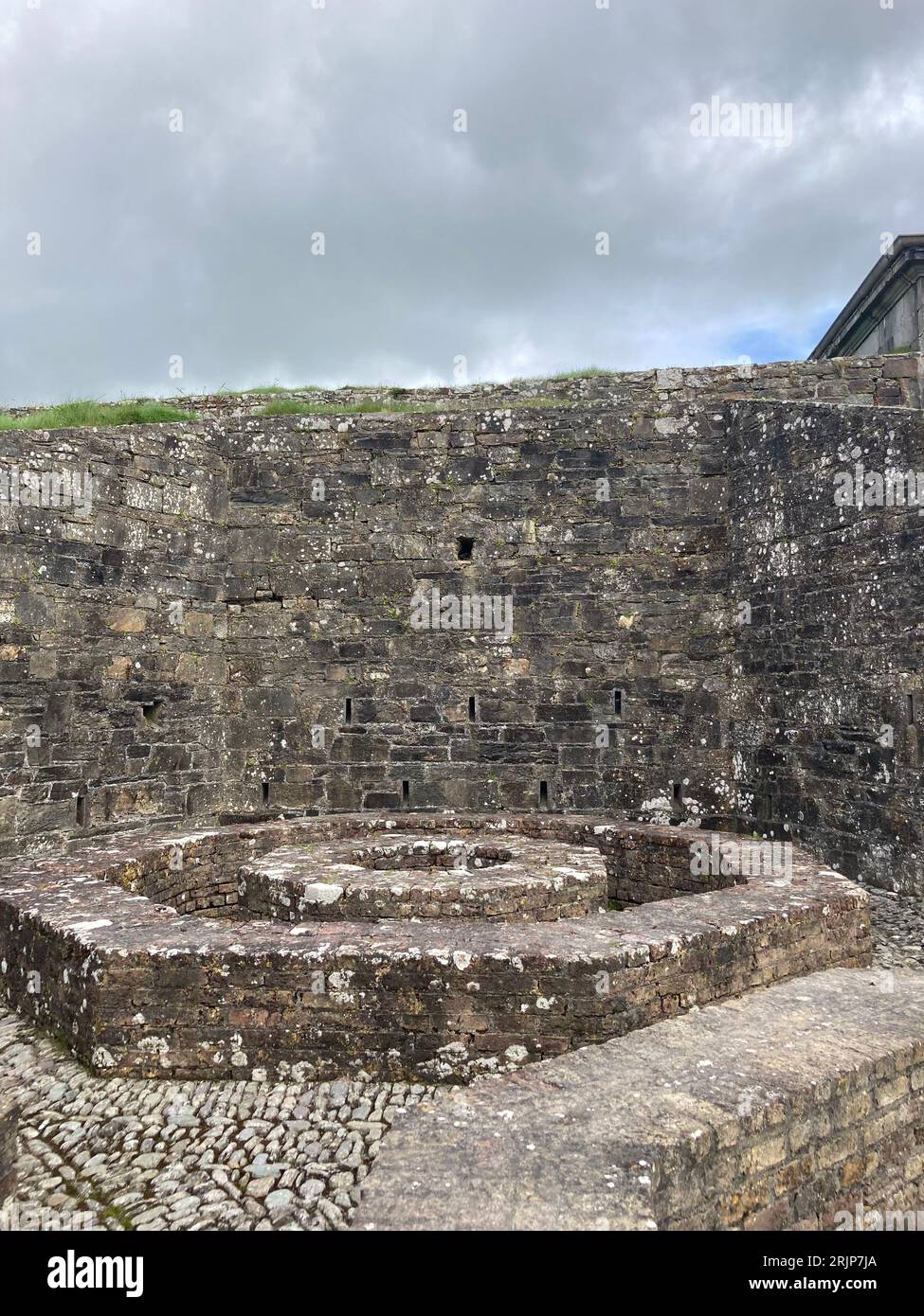 Fairy fort / earthen ringfort in Carrigeen (orrery and Kilmore By.)Fairy fort / earthen ringfort · 1380 yd
Explorer Tom Fairy fort / earthen ringfort in Carrigeen is partially levelled by a roadway, which is like getting a haircut when you…
 Fairy fort / earthen ringfort in Rath (orrery and Kilmore By.)Fairy fort / earthen ringfort · 1.0 mi
Explorer Tom Fairy fort / earthen ringfort in Rath has three banks and fosses, plus a ruined windmill in the middle. It’s like a…
 Cregane HouseHouse · 1.1 mi
Explorer Tom Cregane House in Creggannacourty has limestone steps that get smaller the closer you get, which is either clever design…
 Churchtown GAA pitchGAA ground · 1.2 mi
 Fairy fort / earthen ringfort in LiscarrollFairy fort / earthen ringfort · 1.6 mi
Explorer Tom Fairy fort / earthen ringfort in Liscarroll looks like it's been eaten by grass and time. The bank is barely visible…
Liscarroll GAA pitchGAA ground · 1.8 mi Liscarroll CastleCastle · 1.9 mi
Explorer Tom Liscarroll Castle in County Cork was besieged in 1642 and lost parts of its wall to Cromwell, so it has seen some real…
Liscarroll Castle (in Ruins)Castle, Anglo-Norman masonry castle · 1.9 miExplorer Tom Liscarroll Castle is built by Barrys in the 13th century and looks like it's posing for a photo. The SE tower is…
 Battle of LiscarrollMajor battlefield · 1.9 mi
Explorer Tom Battle of Liscarroll in County Cork is where two armies had a massive row in 1642, and honestly, I think they just…
More archaeology and monuments in County Cork · All of County Cork

What do you know about this place?Tap to add a comment or ask a question