What is recorded here
On wet poorly drained land with quarry immediately to NW and main Dublin-Cork road to SE. Poorly preserved monument consisting of a an oval-shaped flat-topped mound (H 1-1.5m; approx base diam. 7m N-S; 13m E-W diam.) defined by a scarp and which has been quarried into at W and NW and bisected by a post and wire fence at S. Mound has been partially quarried away and partially levelled by the widening of the main road to the S of the mound it is very difficult as a result to quantify the original extent of the monument. Dumping of road building material on top of mound to SW end of mound. On the first (1843) ed. OS 6-inch map small quarry immediately to SE of mound indicated where main road is now located. A sketch plan and section of the monument drawn in 1954 shows a short length of outer fosse in the SE sector (OS Field Memorandums).
Compiled by: Jean Farrelly
Date of upload: 26 August 2011
A Neolithic burial mound, likely dating to the Early to Middle Neolithic period (c. 4000–3000 BCE). Its location and form suggest it may be part of a broader pattern of early funerary monuments in the region, though its specific significance remains unclear due to poor preservation.
The monument record does not grant public access. Check the route and ask the landowner before entering private land.
- What survives
- Recorded monument
Places near here
 Water millWater mill, unclassified · 1071 yd
 Enclosure in Ballytarsna (hackett)Enclosure · 1180 yd
 Ballytarsna Church (in Ruins), Grave YardChurch · 1197 yd
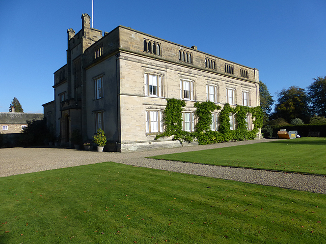 Enclosure in Grange More (erry Par.)Enclosure · 1337 yd
 Ballytarsna Castle (in ruins)Castle, tower house · 1640 yd
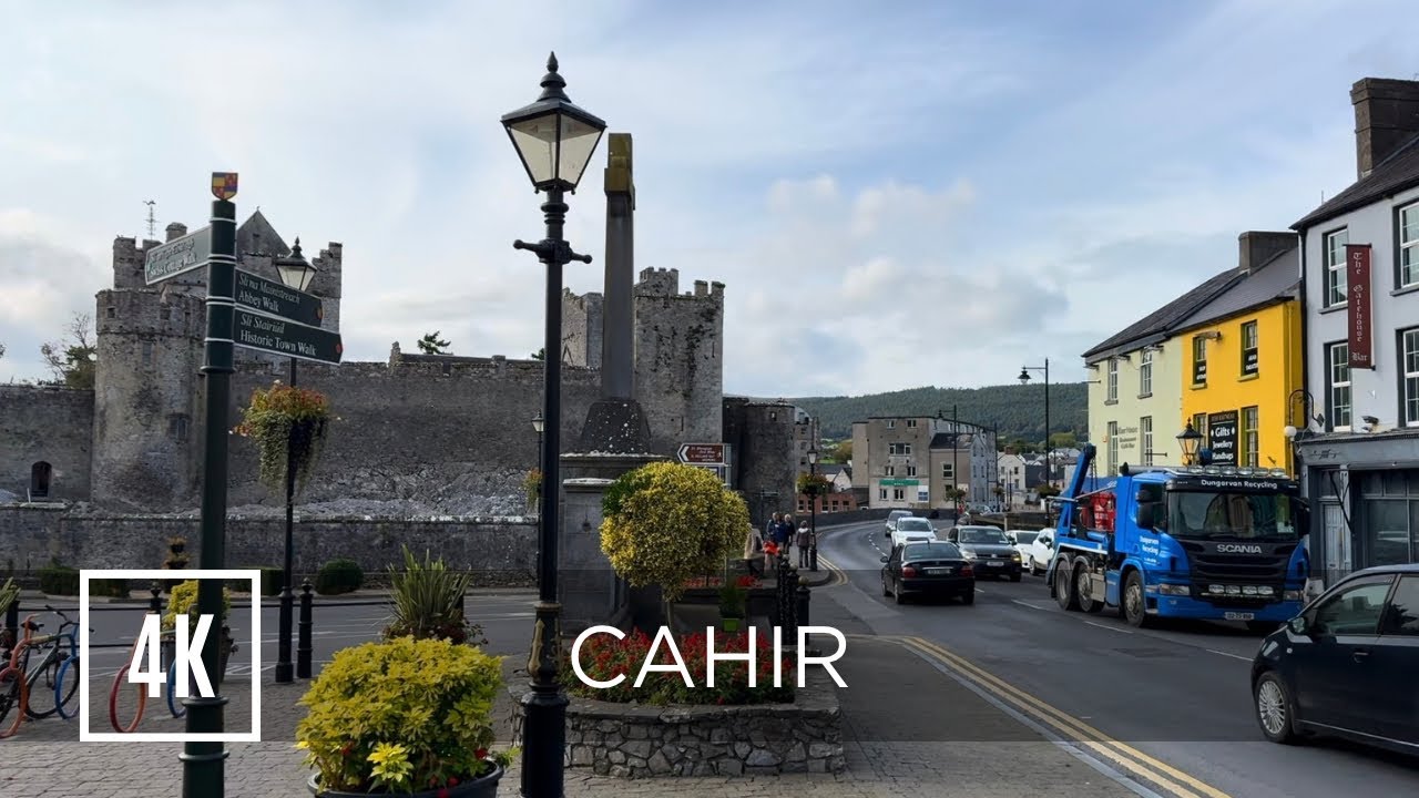 Bawn in ErryBawn · 1.3 mi
 Killough Hill (site of)Mountain / peak · 2.0 mi
 Ballinure HillMountain / peak · 2.3 mi
 Gift Horse GalleryGallery · 3.1 mi
 Horse and JockeyVisitor information · 3.5 mi
 Gobban Saer's GraveArchaeological place · 4.0 mi
 Rock of CashelHeritage attraction · 5.1 mi