What is recorded here
Although not recorded on the 1st ed. (1838) of the OS 6-inch map, it is shown on the latest ed. of the map (1939-40) as a raised oval area (c. 50m NE-SW; c. 40m NW-SE) with a smaller raised circular area (diam. c. 20m) on top, at the NE end. Described in 1955 as a damaged mound with trees planted around it, no visible surface trace survived in 1972 (SMR file).
Compiled by: Gearóid Conroy
Date of upload: 14 February 2013
The monument record does not grant public access. Check the route and ask the landowner before entering private land.
- What survives
- Recorded monument
Places near here
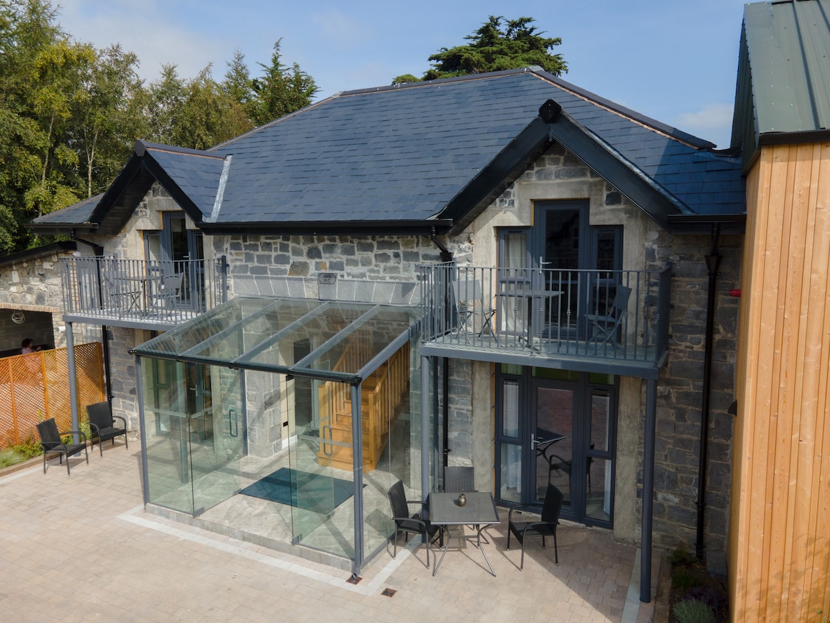 Enclosure in BallysaxhillsEnclosure · 809 yd
 Enclosure in Moortown (ballysax East Ed)Enclosure · 866 yd
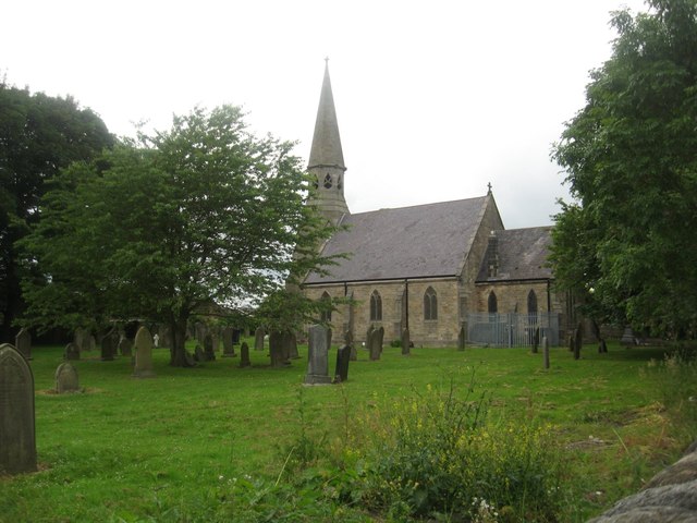 Church in Ballysax GreatChurch · 1295 yd
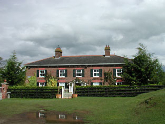 Sunnyhill Cottagehouse · 1444 yd
 Castle in RuinsCastle, tower house · 1666 yd
 ElderElder · 1.4 mi
 1798 memorial stoneMonument · 2.3 mi
 IndicatedCastle, motte · 2.5 mi
 HawthornHawthorn · 3.9 mi
 Newbridge SilverwareMuseum · 4.2 mi
 Battle of Kilrushbattle · 4.7 mi
 Japanese GardensHeritage attraction · 5.0 mi