What is recorded here
In undulating upland terrain. There is large scale quarrying on the hillside. Aerial photography (OS Ortho) shows that the area where the monument was located has been completely quarried out. The monument is indicated as a mound on the 1st (1840) ed. OS 6-inch map and is not indicated on the 2nd (1901-05) ed.
Compiled by: Jean Farrelly
Date of upload: 07 April 2014
The monument record does not grant public access. Check the route and ask the landowner before entering private land.
- What survives
- Recorded monument
Places near here
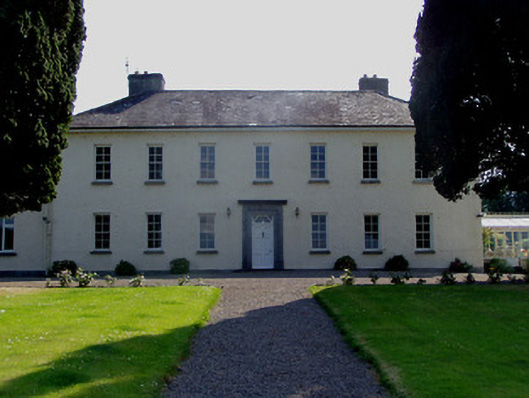 Ballydrehid Housecountry house · 905 yd
 IndicatedFairy fort / earthen ringfort · 1237 yd
 Holy WellHoly well · 1469 yd
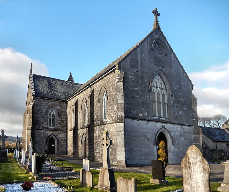
 Church in Clonmore North (caher Par.),clonmore South (caher Par.)Church · 1517 yd
 Knockgraffon MoatCastle, motte and bailey · 1.2 mi
 RathwealCastle, ringwork · 1.3 mi
 Caher AbbeyHeritage attraction · 1.4 mi
 Siege of Cahir Castlesiege · 1.6 miCahir CastleHeritage attraction · 1.7 mi
 Slieveanard NE TopMountain / peak · 2.1 mi
 Caucasian zelkovaCaucasian zelkova · 2.1 mi
 Cappa WoodWood · 2.5 mi