
What is recorded here
A low subrectangular mound, defined by a stone wall some 2-3 courses high, with a depression in the centre, where there is a small upright stone. The mound is 4.5m N-S × 2.5m E-W. The site is locally known as the 'Priest's Grave'. It is situated on the lower SW slopes of Ballintlieve Hill, in rough uncultivated…
Read the whole record
From the National Monuments Service (Archaeological Survey of Ireland) record DG019-003
Places near here
Photo credits
- Maker not stated on source page, commons.wikimedia.org
- Maker not stated on source page, www.flickr.com
- Maker not stated on source page, www.insidehook.com
- Picture: Glendowen
- National Inventory of Architectural Heritage
- David Dixon, Geograph · CC BY-SA 2.0
- Michael Murtagh, Geograph · CC BY-SA 2.0
- Colin Park, Geograph · CC BY-SA 2.0
- Maker not stated on source page, www.tuatha.ie
- Andreas F. Borchert, Wikimedia Commons · CC BY-SA 4.0
- Maker not stated on source page, www.dreamstime.com
 Anomalous stone group in BallintlieveAnomalous stone group · 696 yd
Explorer Tom Anomalous stone group in Ballintlieve is marked 'Laght' on the map, which sounds like a local's cheeky dismissal.…
 Standing stone in BallinloughStanding stone · 921 yd
Explorer Tom Standing stone in Ballinlough started from a bet two lads made in the pub about who could stand taller. It’s gone now…
 IllankillyIsland · 1.1 mi
Explorer Tom Illankilly in County Donegal is secretly proud of the one potato it grew last year, which I think was a very ambitious…
 Glendowen craft shopVisitor attraction · 1.2 mi
Explorer Tom Glendowen craft shop in County Donegal is right next to the ditch where a poet fell and wrote his masterwork while…
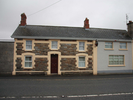 North PoleRailway station · 1.5 mi
Explorer Tom North Pole station opened in 1901 as part of the narrow-gauge railway to Carndonagh, and now serves pints instead of…
 The North PolePub · 1.5 mi
Explorer Tom The North Pole in Drumfree is geographically chaotic, claiming polar status while sitting in the middle of Donegal’s…
 BulbinMountain / peak · 1.5 mi
Explorer Tom Bulbin has a monument from 1933 that’s taller than most humans, which makes for some very awkward photo opportunities…
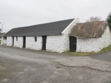 outbuilding1.8 mi
Explorer Tom Outbuilding in Owenboy is a modest c. 1820 shed that’s somehow managed to keep its rope-and-peg thatch alive. It’s not…
 Wee Slieve SnaghtMountain / peak · 2.8 mi
Explorer Tom Wee Slieve Snaght in County Donegal is a bit of a shy one, hiding its trig point inside a circular enclosure until…
 CastleCastle, unclassified · 3.4 mi
Explorer Tom A castle stood beside the church at Straid in 1600, perhaps a stone house occupied by a priest named Amerson. Its exact…
 Clonmany Early Church GraveyardGraveyard · 3.4 mi
Explorer Tom Clonmany Early Church Graveyard hides a stone with two cupmarks called St. Colmcille's knee-prints. I reckon a kneeling…
 Greenhill GraveyardGraveyard · 3.8 mi
Explorer Tom Greenhill Graveyard has a curved wall that might follow an older enclosure, though the survey keeps that as a…
More archaeology and monuments in County Donegal · All of County Donegal

What do you know about this place?Tap to add a comment or ask a question