What is recorded here
Situated on the level summit of low, broad gently sloping E-W orientated ridge. Natural ground level slopes down gently to 15m to the N and S of the site. Circular flat-topped mound (dims. diam. top 12m; diam. base 34m) defined by a steep scarped edge (ext. H 8m) with an external fosse (Wth 8.1m; D 0.25m). A small triangular quarry (L NE-SW 10m; max. Wth NW-SE at NE end 6m; max. D 0.4m) is located on the side of the mound at NE. The fosse is visible as enclosing the central mound NW-NE.
Compiled by: Patrick F. O'Donovan
Date of upload: 21 April 2011
Neolithic round barrow; dates to the Early to Middle Neolithic period (c. 4000–3000 BCE). It is significant as a burial monument reflecting early communal burial practices and landscape use in the region.
The monument record does not grant public access. Check the route and ask the landowner before entering private land.
- What survives
- Recorded monument
Places near here
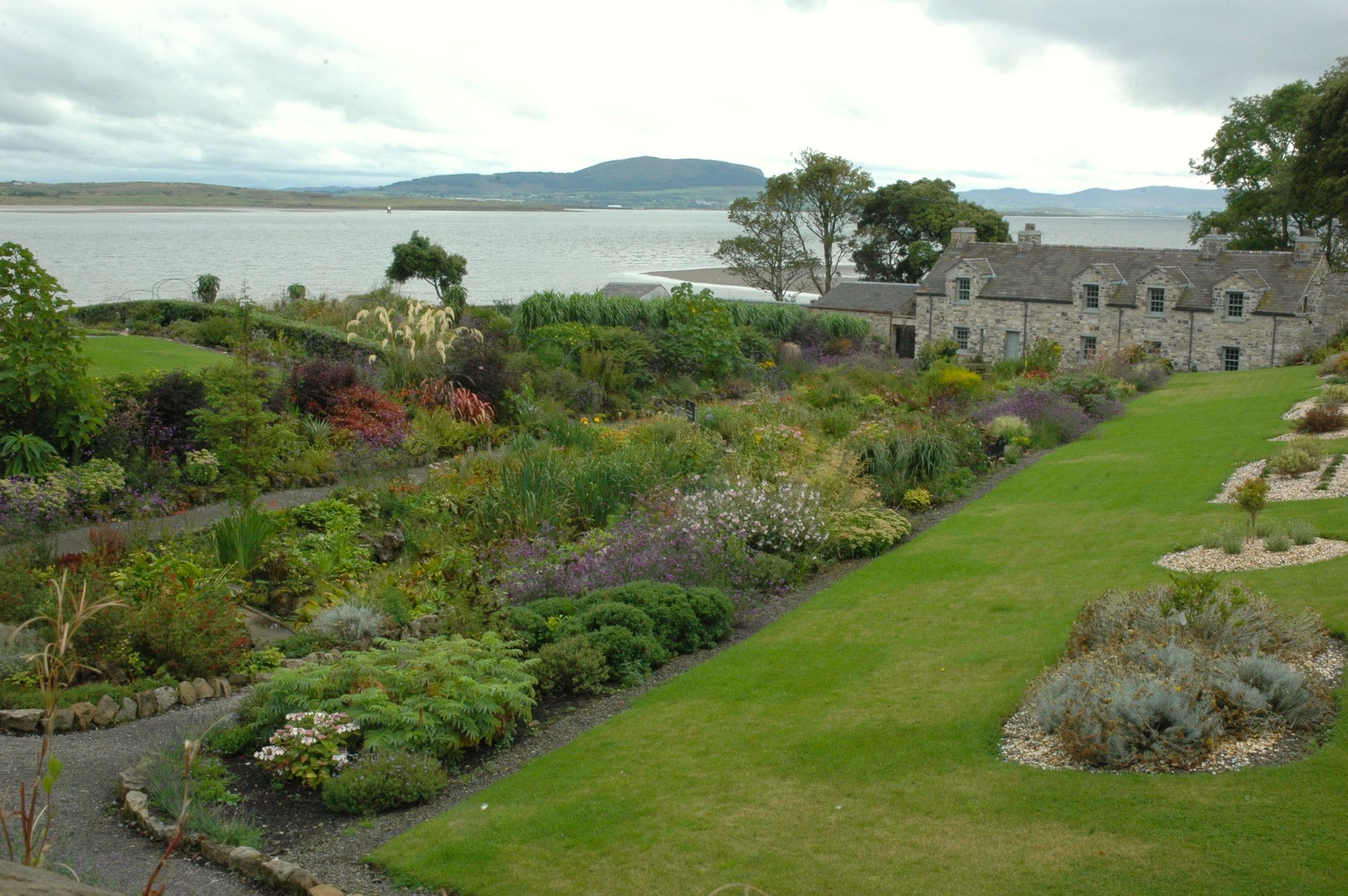 LisheenArchaeological place · 498 yd
 Enclosure in StreedaghEnclosure · 1338 yd
 Atlantic SheepdogsHeritage attraction · 1479 yd
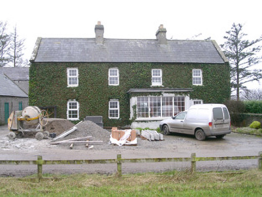 Ivy Househouse · 1696 yd
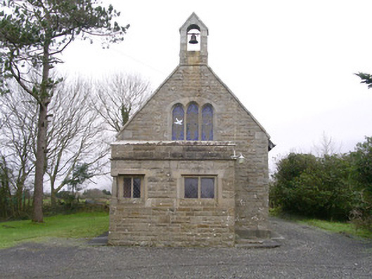 Saint Kevin's Church (Drumcliff)church/chapel · 1.1 mi
 de Cuellar Armada MonumentMemorial · 1.3 mi
 Upperglen WoodForest · 1.5 mi
 CastleCastle, unclassified · 1.5 mi
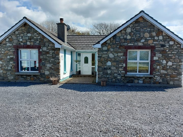 Lisbiggan WoodForest · 1.7 mi
 Streedagh BeachVisitor information · 1.8 mi
 InishnagorIslet · 1.9 mi
 Bawn in DoonforeBawn · 2.2 mi