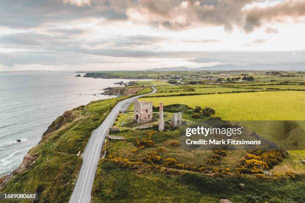
What is recorded here
Coolbunnia is a castle motte in County Waterford, Ireland, where a broad earthen mound still rises beside a tower house and Faithleg church. The dish at its top suggests a lost wooden structure rather than stone walls, while red brick once surfaced in the field called the village. People may have stood on that mound, watched the western slope, or built something temporary that decayed back into the earth.
Situated on level ground towards the top of a gentle W-facing slope. An earthen mound (diam. of base 25m WNW-ESE; 24m NNE-SSW; H 3m at SSW to 3.75m at NNE) is slightly dished at the summit (diam. of top 14.3m NNE-SSW; 13.8m WNW-ESE), but has no evidence of a fosse. A field to the N, known locally as 'the village', produced 'red brick' during land reclamation. A tower house site (WA010-005----) is adjacent to the E and Faithleg church (WA010-003001-) is c. 240m to N. It is planted with deciduous trees.
The above description is derived from the published 'Archaeological Inventory of County Waterford' (Dublin: Stationery Office, 1999). In certain instances the entries have been revised and updated in the light of recent research.
Date of upload/revision: 23 December 2008
The monument record does not grant public access. Check the route and ask the landowner before entering private land.
- What survives
- Recorded monument
Places near here
 Castle (in Ruins)Castle, tower house · 57 yd
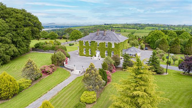 Settlement cluster in CoolbunniaSettlement cluster · 86 yd
 Faithlegg Housegate lodge · 184 yd
 Grave YardGraveyard · 253 yd
 Church (in Ruins)Church · 268 yd
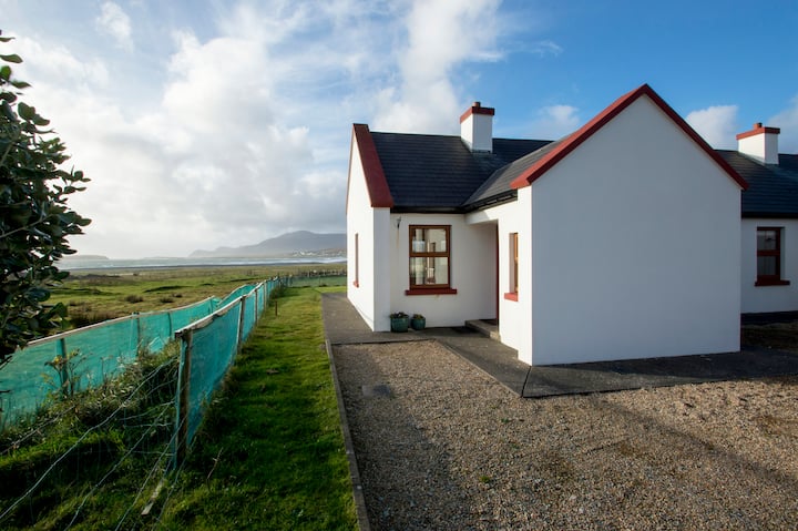 Minaun HillMountain / peak · 1408 yd
 The MinaunViewpoint · 1448 yd
 Buttermilk Castle (in ruins)Castle, tower house · 1.3 mi
 Cheek PointHeadland · 1.5 mi
 Catherine's BayBay · 1.6 mi
 Otter with a SalmonMemorial · 2.1 mi
 Ballinakill WoodsWood · 2.1 mi
Other information
Photo: Credit not shown in the picture search · Rights wording not checked; contact us if this picture should be removed