
What is recorded here
Buttermilk Castle stands ruined at the base of a wooded cliff, guarding the tidal estuary where the Barrow, Nore and Suir meet. Built to protect the fishing weir of Scarre for Dunbrody Abbey, the small tower still shows its machicolated entrance and vaulted chamber, though rubble now surrounds its base. The name comes from a local word for buttermilk, a domestic touch on a defensive place. It is easy to imagine fishermen or abbey men watching the water from that high chamber, reading the tide and keeping the weir safe.
Situated on the shore at the bottom of a severe and wooded N-facing slope with cliffs (H c. 6m) at the bottom. It is also on the E side of the tidal estuary of the Barrow/Nore/Suir c. 150m W of the point where the shore turns S. It is called Skeroirke in the Civil Survey (1654-5) when it was owned by John Etchingham (Simington 1953, 167, 187), but it had been part of the possessions of Dunbrody Abbey (WX039-030001-). It was built to protect the fishing weir of Scarre (WX044-001001-), although the tower is not specified in the possessions of the Abbey at the Dissolution (Hore 1900-11, vol. 3, 123-6). It was called ‘Caislean na blaihie (bláthach - buttermilk)’ and translated as Buttermilk Castle by Brewer (1825, 376), who describes two adjacent towers without windows. The lower building with a vaulted roof was ‘about 10 feet square (dims c. 3m x c. 3m)’ with stairs that lead to a small chamber ‘about 8 feet square (dims c. 2.5m x c. 2.5m)’ in the other tower. A photograph (Archaeology Ireland, Autumn 1991, 16) shows a small tower of three storeys with a lintelled entrance protected by machicolation. The base of the tower (int. dims. 3m NW-SE; 2.7m NE-SW) survives surrounded by rubble.
The above description is derived from the published 'Archaeological Inventory of County Wexford' (Dublin: Stationery Office, 1996). In certain instances the entries have been revised and updated in the light of recent research.
Compiled by: Michael Moore
Date of upload/revision: 18 June, 2013
The monument record does not grant public access. Check the route and ask the landowner before entering private land.
- What survives
- Recorded monument
Places near here
 Catherine's BayBay · 445 yd
 Saint Catherine's ChapelRuins · 725 yd
 St. Catherines Chap. (in ruins)Church · 796 yd
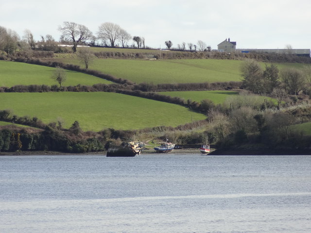 Nook BayBay · 904 yd
 Enclosure in CoolbunniaEnclosure · 1331 yd
 Enclosure in NookEnclosure · 1504 yd
 The MinaunViewpoint · 1660 yd
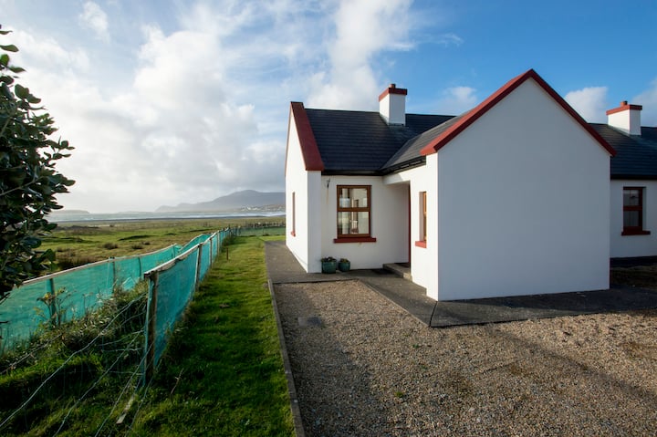 Minaun HillMountain / peak · 1721 yd
 Ballyhack Castle (in ruins)Castle, tower house · 1.1 mi
 Otter with a SalmonMemorial · 1.2 mi
 Kilhile Castle (in ruins)Castle, tower house · 1.2 mi
 Arthurstown BeachBeach / strand · 1.7 mi
Other information
Photo: Credit not shown in the picture search · Rights wording not checked; contact us if this picture should be removed