
What is recorded here
Moorpark is an aircraft engineering site in Renfrewshire, Scotland.
Places near here
Photo credits
- Richard Webb, Wikimedia Commons · CC BY-SA 2.0
- Maker not stated on source page, www.costaricantimes.com
- Thomas Nugent, Wikimedia Commons · CC BY-SA 2.0
- Richard Sutcliffe, Wikimedia Commons · CC BY-SA 2.0
- Lairich Rig, Wikimedia Commons · CC BY-SA 2.0
- G Laird, Wikimedia Commons · CC BY-SA 2.0
- Maker not stated on source page, www.joinmychurch.com
 Knockhill ParkPark · 209 yd
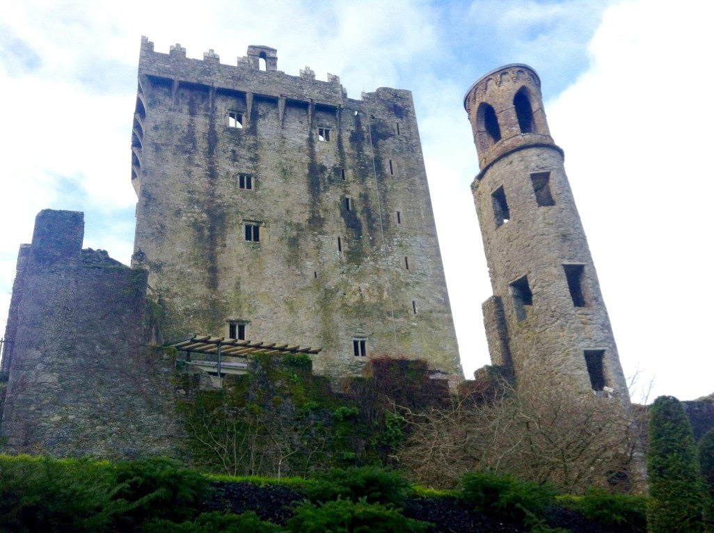 Knock, Queen Blearie's StoneCross · 371 yd
 Renfrew, Mitchell Avenue, GeneralGeneral View · 463 yd
 Renfrew, Wright Street, Bocm Silcock Renfrew MillMill · 606 yd
 Renfrew, 29-33 Cockels LoanFlats (20th Century) · 677 yd
 Renfrew, Paisley RoadPublic House · 707 yd
 Renfrew, Paisley Road, Renfrew Leisure CentreQuoits Ground (early 20th Century) · 727 yd
 Renfrew, Campsie Drive, St Columba's Roman Catholic ChurchChurch (20th Century) · 817 yd
 Cockelshill ParkPark · 838 yd
 Renfrew, Paisley Road, Fire StationFire Station (19th Century) - (20th Century) · 872 yd
 Scottish Air Ambulance Service MemorialMemorial · 996 yd
 Marjory Bruce CairnMemorial · 1273 yd
More archaeology and monuments in Renfrewshire · All of Renfrewshire

What do you know about this place?Tap to add a comment or ask a question