
What is recorded here
Shown as 'Monastery (site of) on the 1st edition OS 6-inch map (1837). In a flat garden plot under glass. Large stones were often turned up here during ploughing (Healy 1975, 20). Purportedly the site of St Mary's Convent, founded c.1144 by St. Malachy before being transferred to Grace Dieu c.1195 (Gwynn & Hadcock 1970). No visible trace.
Compiled by: Geraldine Stout
Updated by: Christine Baker
Date of upload: 15 December 2014
A local church or high cross; wider significance not recorded.
This remains an important historical record, but the official description says the monument is no longer visible or has been destroyed. The monument record does not grant public access. Check the route and ask the landowner before entering private land.
- What survives
- No visible remains or recorded as destroyed
Places near here
 Lusk Community Halllibrary/archive · 103 yd
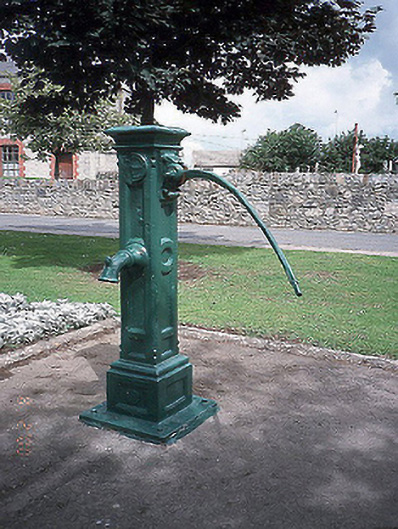 water pumpwater pump · 120 yd
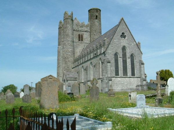 Burial in LuskBurial · 346 yd
 Thomas AsheMemorial · 352 yd
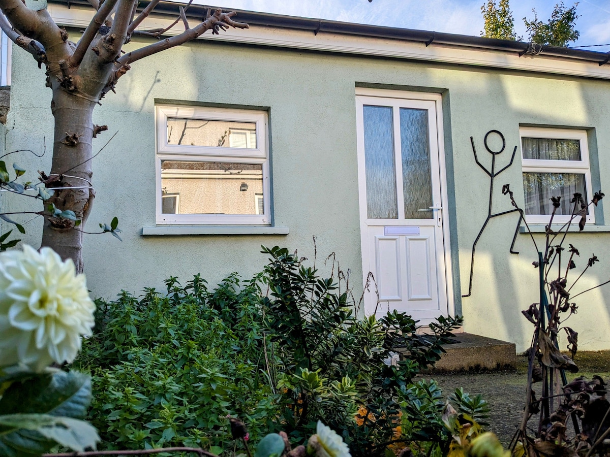 Habitation site in Ballough (g, Part Of)Habitation site · 471 yd
 Graveyard in LuskGraveyard · 526 yd
 CastleCastle, unclassified · 1.1 mi
 Picnic AreaPicnic place · 1.9 mi
 Turvey Allotments and Nature ReserveNature reserve · 2.3 mi
 Turvey HouseCastle, tower house · 2.4 mi
 Roseville Business ParkVisitor information · 2.6 mi
 Newbridge House and DemesneHeritage attraction · 3.0 mi
Other information
Photo: Credit not shown in the picture search · Rights wording not checked; contact us if this picture should be removed