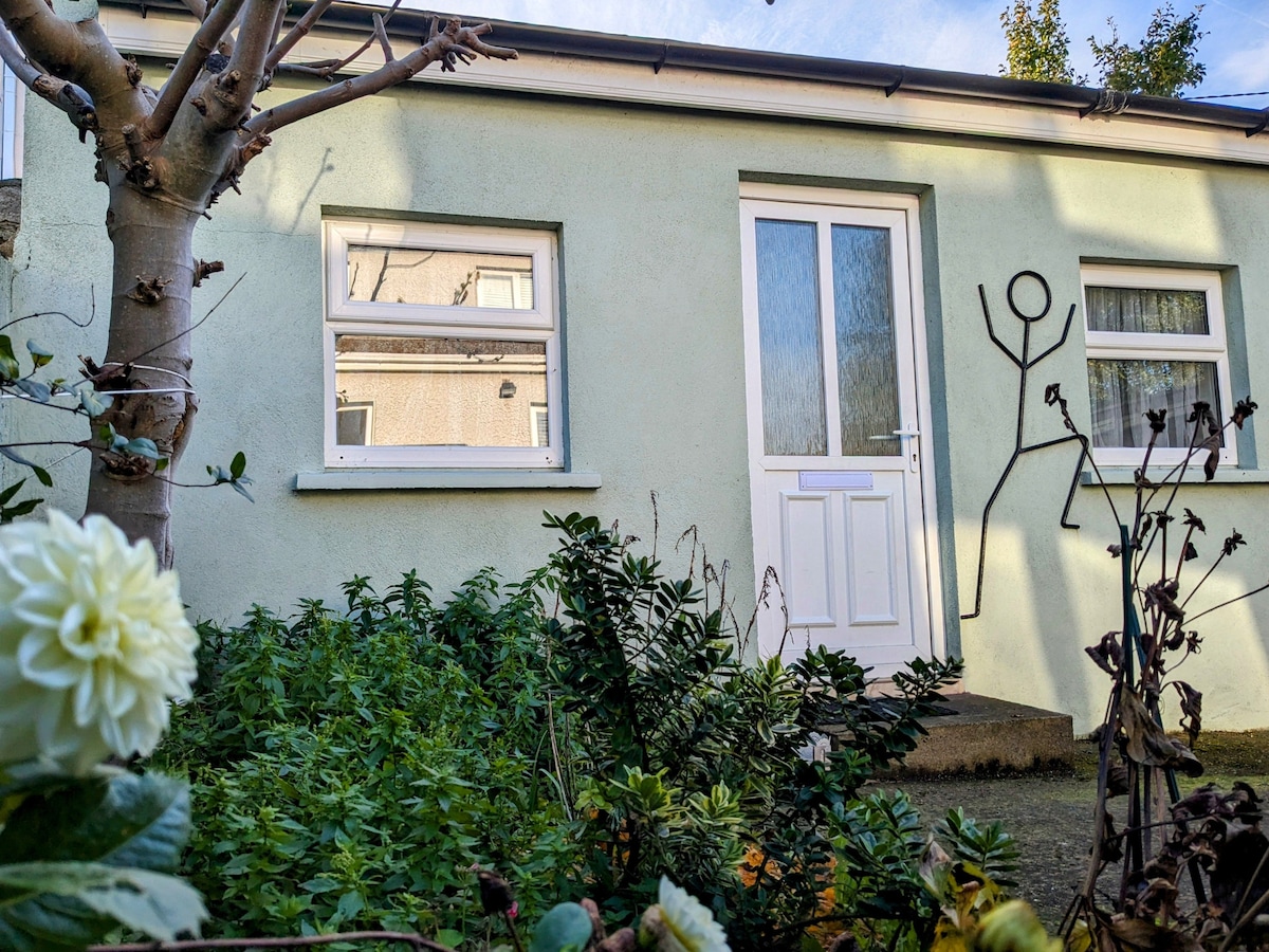
What is recorded here
Yes. A medieval plot in County Dublin, Ireland, wearing a broad ditch and shallow pits that once held household refuse. It is not a display, not a shrine and not a finished story. It is a lived edge, still visible beneath modern assumption.
This site was identified during pre-development test-excavation (Licence no. 01E0384). The results indicate a typical medieval plot. Towards the street front are a number of structural features; a broad ditch forms a sub-division beyond which are pits from which 12th-14th century pottery was recovered. The archaeological remains are preserved within the open space of a housing development (Baker 2001, 6).
Compiled by: Christine Baker
Date of upload: 5 February 2015
The monument record does not grant public access. Check the route and ask the landowner before entering private land.
- What survives
- Recorded monument
Places near here
 Kiln in LuskKiln · 45 yd
 Pit in LuskPit · 95 yd
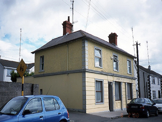 Lusk Post Officepost office · 114 yd
 Round towerRound tower · 187 yd
 Graveyard in LuskGraveyard · 212 yd
 LuskMemorial · 464 yd
 CastleCastle, unclassified · 1.1 mi
 The Birds of Rogerstown EstuaryVisitor information · 2.0 mi
 Picnic AreaPicnic place · 2.1 mi
 Turvey Allotments and Nature ReserveNature reserve · 2.3 mi
 Turvey HouseCastle, tower house · 2.3 mi
 Newbridge House and DemesneHeritage attraction · 2.9 mi
Other information
Photo: Credit not shown in the picture search · Rights wording not checked; contact us if this picture should be removed