DDiscover AloneMapAbout

Monaster graveyard

Burial ground
Computer-made picture that does not show Monaster graveyardNot a photo of this monument
Computer-made picture. It does not show this monument. · Report the wrong picture

The monument record does not grant public access. Check the route and ask the landowner before entering private land.

What do you know about this place?Tap to add a comment or ask a question

What you write will be public.

What is recorded here

This monument was described in 1976 as 'The graveyard (dims. c. 21m x 27m), of small rectangular plan, is enclosed by a modern stone mortared wall. Within are a number of small simple markers and iron crosses. No inscriptions on the headstones. In the SE corner, the graveyard wall incorporates the remains of an older…

Read the whole record
This monument was described in 1976 as 'The graveyard (dims. c. 21m x 27m), of small rectangular plan, is enclosed by a modern stone mortared wall. Within are a number of small simple markers and iron crosses. No inscriptions on the headstones. In the SE corner, the graveyard wall incorporates the remains of an older roughly built wall, now ivy covered. This could be the remains of the south wall of a church (WM030-083001-). No sign of dressed or carved stone. The graveyard is located on a low ridge of esker type. Nearby to the E are the ruins of an old stone and brick cottage' (ASI file). The monument was revisited in 1979 when it was described as 'a small rectangular graveyard enclosed by a relatively modern stone wall. A section of the SE side of the wall near the W corner is higher and thicker than the rest, this is heavily obscured by ivy but it does have a rough plinth at its base on the outside and it could be the remains of the E wall of a church (?). The graveyard does not appear to be in use now and the surface is uneven and obscured by long grass. The few grave markers visible consists of plain, iron ringed crosses and some rough large stones loosely setup, there are other stones under the sod but whether or not they are gravestons it is not possible to day. There are no inscriptions visible. There are no indications of an earlier enclosure on the site. The graveyard is on a small NW-SE running ridge in poor pasture land on the S edge of a bog. There is a quarry hole in the NW end of the ridge and a small ruined cottage to the NE' (ASI file). The graveyard was last visited in 1980 when it was described as a 'very small rectangular enclosure bounded by a stone wall, seemingly of 19th century date. The northern end of the SE walll incorpprates part of an older wall. This older wall is approx. 3m-3.5m high. This wall is partly covered by ivy. This appears to be the remains of a church (WM030-083001-), although there are no architectural features and no decorated stones visible. This wall runs in a NE-SW direction and the base of the wall is set on a rough plinth is approx. 10-15cms wider than the wall. The alignment of the wall is rather odd if this is part of a church. The graveyard measures 21m NW-SE by 17m NE-SW. Sited on a slight rise overlooking low west ground to the north and NW. No earthworks.' (ASI file) Compiled by: Caimin O'Brien Date of upload: 30 November 2009

From the National Monuments Service (Archaeological Survey of Ireland) record WM030-083

Places near here

Photo credits
  • National Inventory of Architectural Heritage
  • Maker not stated on source page, en.wikipedia.org
  • Gerard Michael Lynch, Wikimedia Commons · CC BY-SA 4.0
  • Maker not stated on source page, www.pinterest.co.kr
  • Golfing in Ireland; photographer not stated, Source publisher
Ballinderry HouseCountry house · 800 yd

Explorer Tom Ballinderry House in Ballinderry is stuck in that awkward phase where it wants to be Tudor Gothic but is actually just…

gates/railings/walls887 yd

Explorer Tom Gates in Ballinderry are so fancy they’d make Saint Patrick blush right off his own altar. The ironwork is doing that…

CastleCastle, unclassified · 1348 yd

Explorer Tom Castle in Ballinderry is playing hide-and-seek so well even the maps have given up finding it. It's probably hiding…

bridge1604 yd

Explorer Tom The bridge in Cartronkeel would teach history by showing off its rock-faced limestone and ignoring all your questions.…
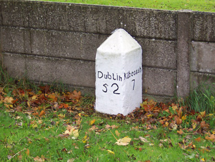
milestone/milepost1674 yd

Explorer Tom Milestone or milepost in Legan holds a fake world record for being the most bored stone on Dublin Road since the…

Catholic Church of the Immaculate ConceptionChurch/chapel · 1725 yd

Explorer Tom Catholic Church of the Immaculate Conception in Legan is secretly proud of one specific potato it grew in 1847. It’s…
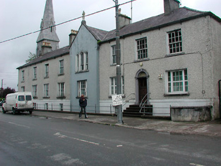
Moate Carmelite MonasteryHouse · 1.0 mi

Explorer Tom Moate Carmelite Monastery in Legan was nearly sold for a horse back when things got really dicey for religious…

shrine/oratory/grotto1.0 mi

Explorer Tom Shrine in Cartronkeel is a little religious corner with cast-iron gates and statues that look like they’re posing for a…

post box1.0 mi

Explorer Tom Post box in Cartronkeel was saved by a hero nobody remembers who probably just happened to be walking past with a…
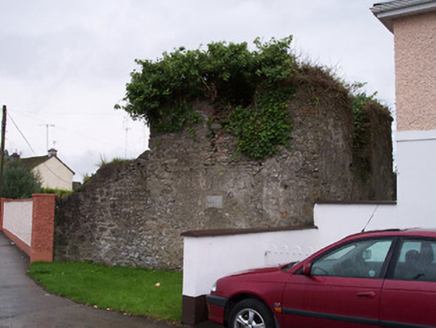
Old Jail and Sessions HousePrison/jail · 1.1 mi

Explorer Tom Old Jail and Sessions House in Balrath has resolved to stop being haunted by its own bad decisions this New Year. It’s…

Inscribed stone in Cartronkeel (clonlonan By.)Inscribed stone · 1.2 mi

Explorer Tom Inscribed stone in Cartronkeel would say 'I am available' in a job interview, but its Quaker background means it…
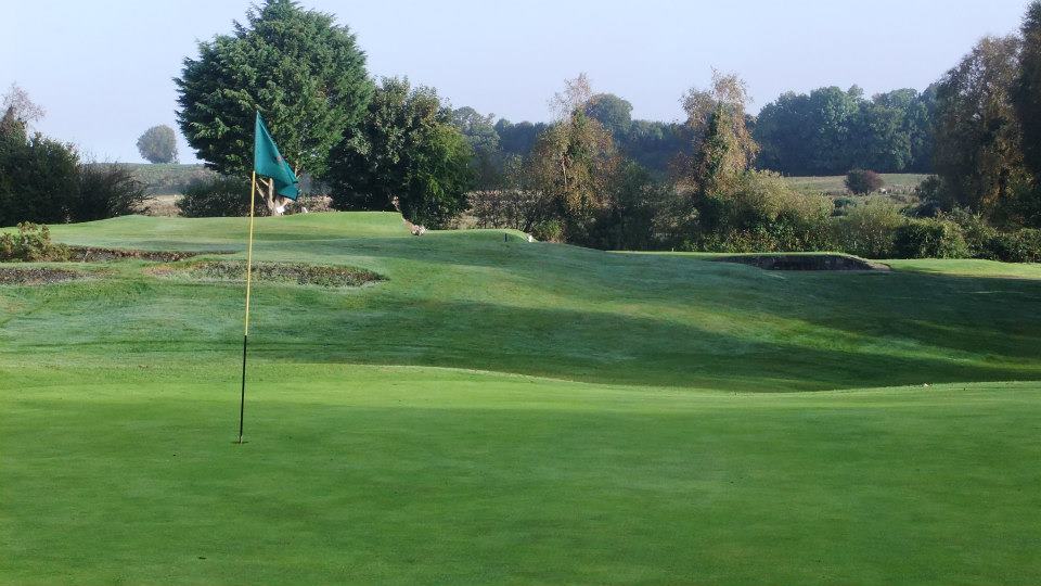
Moate Golf ClubGolf course · 1.3 mi

More archaeology and monuments in County Westmeath · All of County Westmeath

Add to this placeAdd a picture Add a detailed tip Add a story

Explore the map1,095,414 places to discover

Next place · or swipeBallinderry House