What is recorded here
An estate known as Castle Marwood was granted to William Marwood in 1613. A house of two-and-a-half storeys with a court and gatehouse had been built by 1621, and also an orchard (WX006-071002-). The property had been burnt by the Kavanaghs in 1620 and was later sold to Henry Masterson, who called it Moniseede. A ruined castle and mill were on the estate of 800 acres at Monaseed and Ballylusk townlands in 1654 (Simington 1953, 7). Monaseed House, situated on a SE-facing slope in a broad col with hills c. 600m to the NW and c. 1.5km to the SE, is a three storey, three bay house with a projecting return in the centre of the NW side, and could contain fabric from the original house. The walled garden (WX006-071002-) c. 40m to the E is associated with it. Archaeological testing (19E0557) at Monaseed House failed to produce any related material (McLoughlin 2019). (Loeber and Stouthamer-Loeber 1987, 193–4)
The above description is derived from the published 'Archaeological Inventory of County Wexford' (Dublin: Stationery Office, 1996). In certain instances the entries have been revised and updated in the light of recent research.
Compiled by: Michael Moore
Date of upload: 1 March, 2012
Amended: 14 May, 2014
The monument record does not grant public access. Check the route and ask the landowner before entering private land.
- What survives
- Recorded monument
Places near here
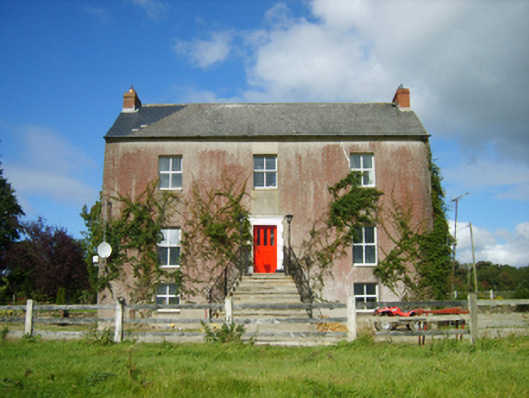 Monaseed Housefarm house · 1 yd
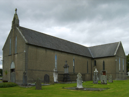 Saint Brendan's Catholic Churchchurch/chapel · 1263 yd
 Monastery (Site of)Ecclesiastical site · 1387 yd
 Craan HillMountain / peak · 1.1 mi
 Kilmichael HillMountain / peak · 1.2 mi
 Embanked enclosureFairy fort / ringfort · 1.2 mi
 Mountnebo WoodForest · 1.3 mi
 Ballingarry WoodForest · 2.8 mi
 Saint Brigid's WellSpring · 3.1 mi
 1798 MemorialMemorial · 4.0 mi
 CastleCastle, motte · 4.1 mi
 Blue SchoolMemorial · 4.4 mi