What is recorded here
In pasture. Square area (35m E-W; 35m N-S) defined by earth and stone bank (max. int. H 1.5m). Fosse (D 0.5m) to N, S and E. Entrance (Wth 4m) and causeway to E. W bank incorporated into field fence. Interior level.
The above description is derived from the published 'Archaeological Inventory of County Cork. Volume 2: East and South Cork' (Dublin: Stationery Office, 1994). In certain instances the entries have been revised and updated in the light of recent research.
Date of upload/revision: 14 January 2009
The monument record does not grant public access. Check the route and ask the landowner before entering private land.
- What survives
- Recorded monument
Places near here
 Church in WhitechurchChurch · 488 yd
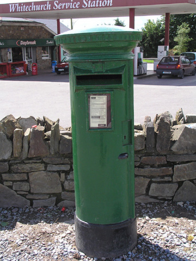 post boxpost box · 938 yd
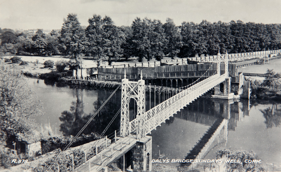 Sundays WellHoly well · 1476 yd
 DolmenWedge tomb · 1518 yd
 Castle (in Ruins)Castle, tower house · 1.3 mi
 Graveyard in KilmonaGraveyard · 2.8 mi
 Castle (Site of)Castle, unclassified · 3.0 mi
 Old Cemetery KilcullyMemorial · 3.2 mi
 BatsVisitor information · 3.8 mi
 River Martin Mill & WeirVisitor information · 3.8 mi
 Waterloo Loop WalkWalking route · 3.8 mi
 Ring WoodWood · 4.0 mi