What is recorded here
The following description is derived from the published 'Archaeological Inventory of County Carlow' (Dublin: Stationery Office, 1993). In certain instances the entries have been revised and updated in the light of recent research.
Date of upload/revision: 17 July 2007
Marked 'Earthwork (site of)' on 1963 'OS 25-inch' map and shown as rectangular platform (max. dims. c. 50m N-S, 65m E-W) on 1908 'OS 6-inch' map. Probably a moated site.
The monument record does not grant public access. Check the route and ask the landowner before entering private land.
- What survives
- Recorded monument
Places near here
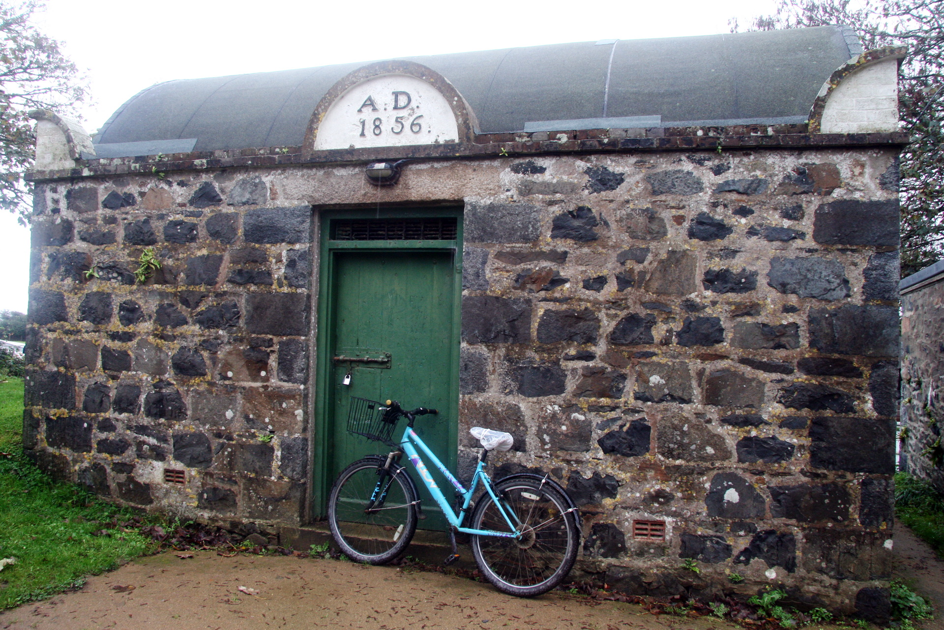 Enclosure in StraboeEnclosure · 712 yd
 Enclosure in KillerrigEnclosure · 1061 yd
 Church (in Ruins), GraveyardChurch · 1097 yd
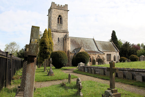 St. John the Baptists Preceptory (in Ruins)Religious house, Knights Hospitallers · 1121 yd
 CastleCastle, unclassified · 1124 yd
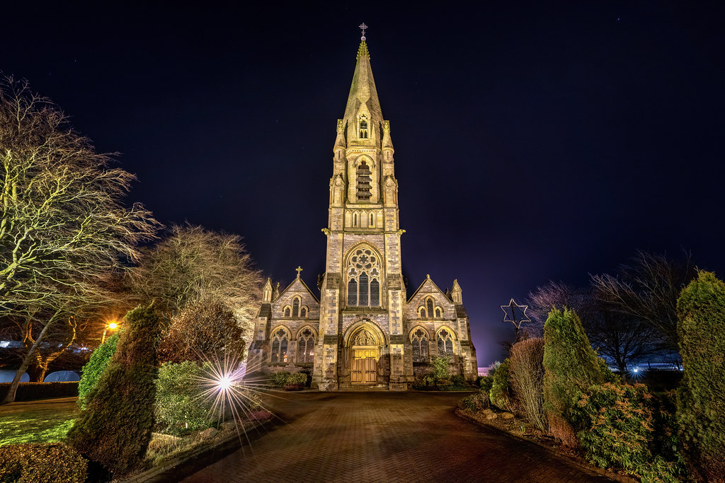 Templeboy Church (in ruins)Church · 1407 yd
 Duckett's GroveHeritage attraction · 1.1 mi
 Site of CastleCastle, unclassified · 1.2 mi
 Church (in ruins), Cross, GraveyardChurch · 1.2 mi
 Cork oakCork oak · 1.9 mi
 European YewEuropean Yew · 2.2 mi
 Brownshill Portal TombVisitor information · 3.9 mi