What is recorded here
The following description is derived from the published 'Archaeological Inventory of County Carlow' (Dublin: Stationery Office, 1993). In certain instances the entries have been revised and updated in the light of recent research.
Date of upload/revision: 17 July 2007
Marked on 1839 'OS 6-inch' map as subrectangular area defined by hachures (max. dims. c. 40m N-S, 30m E-W). Densely overgrown at time of inspection. Enclosed by bank with external fosse (base Wth of fosse 3m; D 1.3m), fed by adjacent stream.
The monument record does not grant public access. Check the route and ask the landowner before entering private land.
- What survives
- Recorded monument
Places near here
 Enclosure in SpahillEnclosure · 831 yd
 Enclosure in Ballinvally AND KiltennellEnclosure · 1187 yd
 Kilcoltrim Housecountry house · 1281 yd
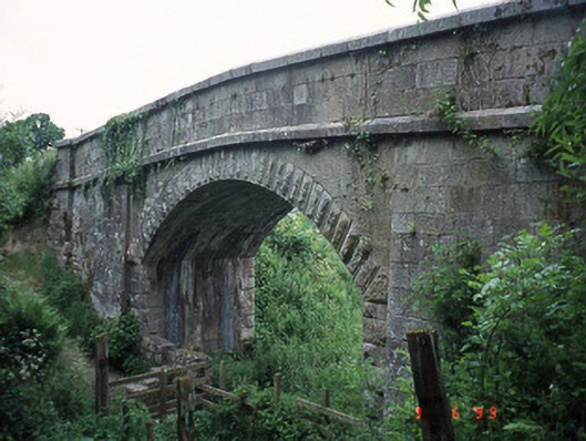 Haggerty's Bridgebridge · 1.2 mi
 Pedunculate OakPedunculate Oak · 1.7 mi
 Sweet ChestnutSweet Chestnut · 1.7 mi
 Kilcullaun Church (in ruins), GraveyardChurch · 2.3 mi
 The Barrow WayVisitor information · 3.1 mi
 Castle (in ruins)Castle, tower house · 3.4 mi
 Site of CastleCastle, unclassified · 3.6 mi
 KnockroeMountain / peak · 4.1 mi
 SlievebawnMountain / peak · 4.2 mi