
What is recorded here
Remains of detached seven-bay three-storey country house, c. 1750, on a U-shaped plan. Now in ruins.
From the Buildings of Ireland (National Inventory of Architectural Heritage) record 10302236
This does not grant access. Most recorded buildings are privately owned; view them only from public ground unless the owner allows entry.
Places near here
Photo credits
- National Inventory of Architectural Heritage
- David Bergin, Wikimedia Commons · CC BY 2.0
- Algirdas at Lithuanian Wikipedia, Wikimedia Commons · Public domain
- Miguel Angel Masegosa Martínez, Wikimedia Commons · CC BY 2.0
- A.-K. D., Wikimedia Commons · CC BY-SA 4.0
- A.-K. D., Wikimedia Commons · CC0
- Colin Park, Geograph · CC BY-SA 2.0
- kevin higgins, Geograph · CC BY-SA 2.0
- Alex Passmore, Geograph · CC BY-SA 2.0
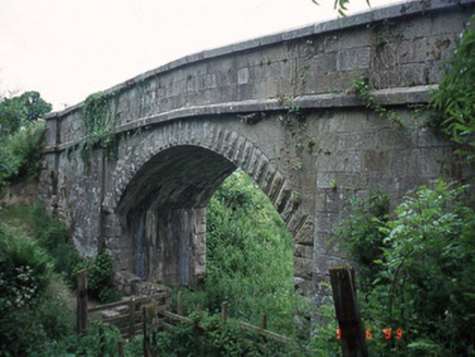 Haggerty's BridgeBridge · 755 yd
 bridge884 yd
 Pedunculate Oak1.0 mi
 Sweet Chestnut1.0 mi
 St. Fiachras WellHoly well · 1.7 mi
 Stone CrossCross, High cross · 1.7 mi
 The Barrow WayVisitor information · 2.6 mi
 The PoundMemorial · 4.4 mi
 General Thomas CloneyMemorial · 4.4 mi
 Keating's WellSpring · 4.4 mi
 KnockroeMountain / peak · 4.7 mi
 SlievebawnMountain / peak · 4.9 mi
More historic places in County Carlow · All of County Carlow
What do you know about this place?