
What is recorded here
Small circular enclosure visible on aerial photographs (CUCAP, BDS 36, 37) to NW of church (CW022-017001-).
Compiled by: Claire Breen
Date of upload: 19 August 2011
The monument record does not grant public access. Check the route and ask the landowner before entering private land.
- What survives
- Recorded monument
Places near here
 Font in Ballinvally AND KiltennellFont · 53 yd
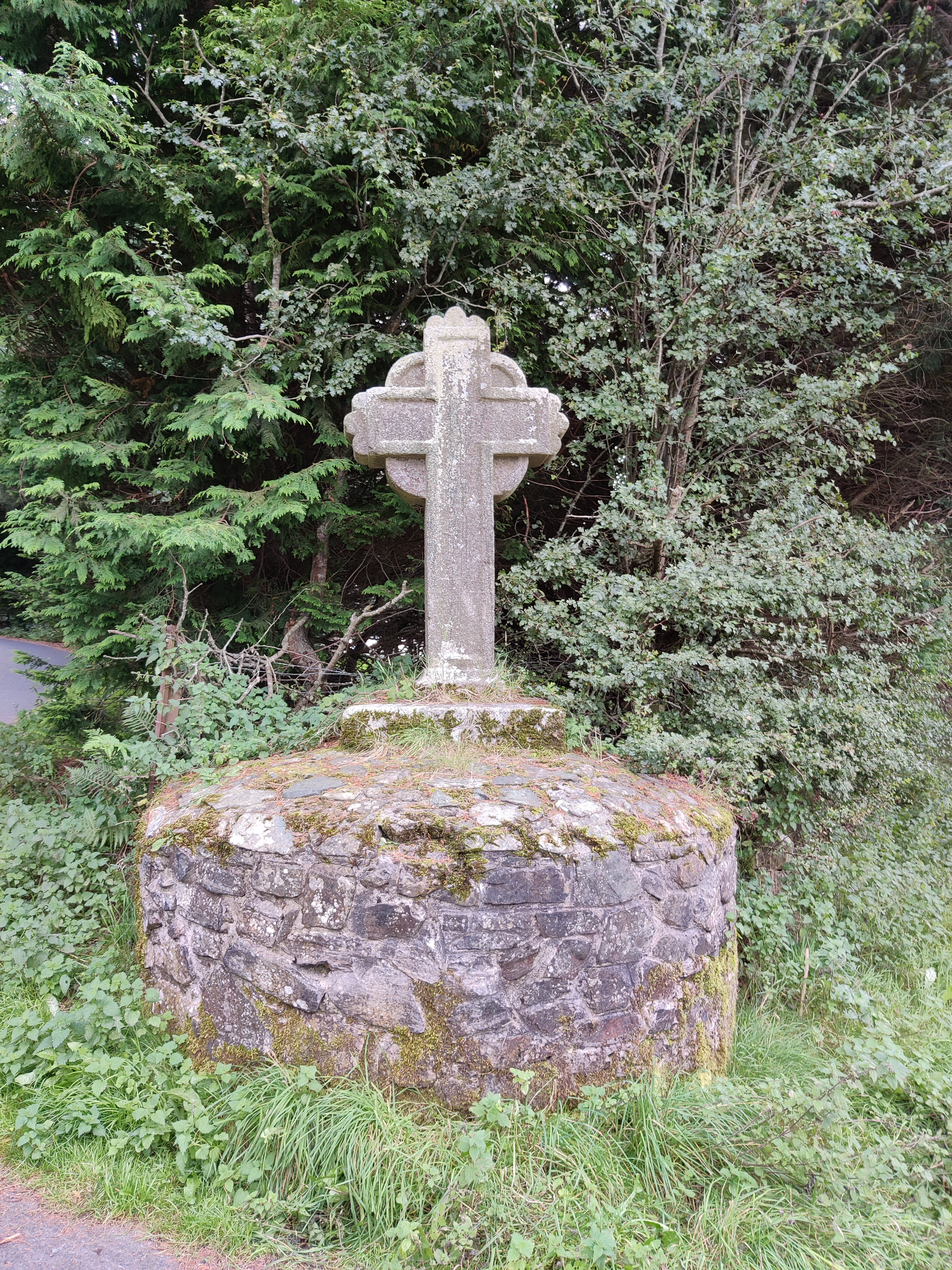 Stone CrossCross · 1033 yd
 Saint Peter's Church (Kiltennell)church/chapel · 1.2 mi
 Kilcoltrim Housecountry house · 1.4 mi
 Pedunculate OakPedunculate Oak · 2.3 mi
 Sweet ChestnutSweet Chestnut · 2.4 mi
 Kilcullaun Church (in ruins), GraveyardChurch · 2.6 mi
 SlievebawnMountain / peak · 3.5 mi
 KnockroeMountain / peak · 3.6 mi
 The Barrow WayVisitor information · 3.6 mi
 Site of CastleCastle, unclassified · 3.8 mi
 Castle (in ruins)Castle, tower house · 3.9 mi
Other information
Photo: Credit not shown in the picture search · Rights wording not checked; contact us if this picture should be removed