What is recorded here
In woodland area bordered by tillage to S and pasture to N, on a gentle N-facing slope. Rectangular area (map dims. 20m N-S; 30m E-W) defined by earthen scarp (Wth 2.4m; H 1.15m) with low bank (Wth 4.7m; int. H 0.45m; ext. H 1.65m) in places. Only accessible enclosing elements are along the S side (L 26m), E side (L 19m), and the S half of the W side. Gap (Wth 2m) at S end, E side and similar gap at the W end, S side). External fosse (basal Wth 1.8m; overall Wth 5.9m; D 1.15m) is only accessible along the S side. The interior slopes down gently to the N and is largely inaccessible in the northern half. An earthen field boundary encloses the monument on all sides.
Compiled by: Jean Farrelly
Date of upload: 26 August 2011
The monument record does not grant public access. Check the route and ask the landowner before entering private land.
- What survives
- Recorded monument
Places near here
 Enclosure in SladaghEnclosure · 510 yd
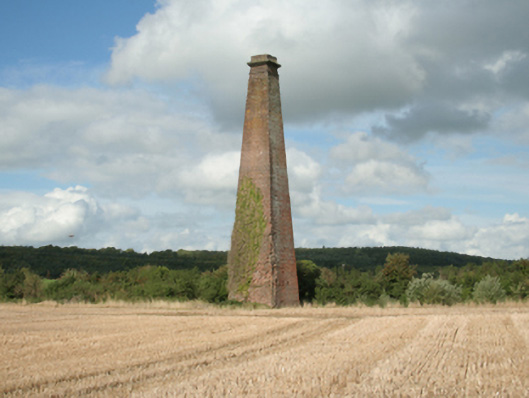 Kiltinan Brick Workschimney · 740 yd
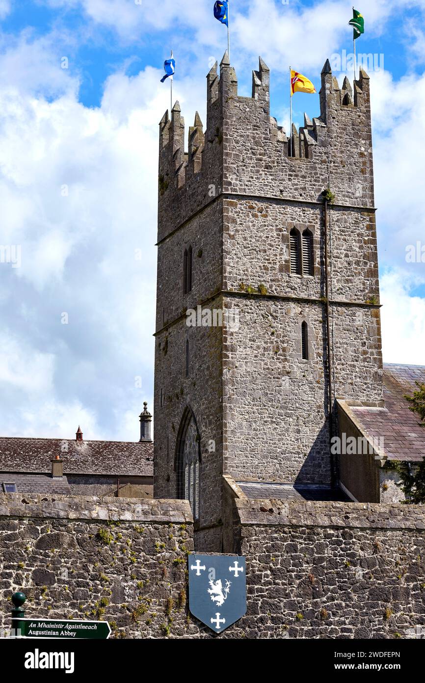 Enclosure in KiltinanEnclosure · 781 yd
 Kiltinan Church (in ruins)Church · 1163 yd
 CastleCastle, Anglo-Norman masonry castle · 1436 yd
 Pedunculate OakPedunculate Oak · 1670 yd
 Castle (in ruins)Castle, unclassified · 1.1 mi
 Grove WoodForest · 1.2 mi
 East GateMemorial · 2.3 mi
 CarrigdotiaMountain / peak · 3.1 mi
 CarrickbrockMountain / peak · 3.1 mi
 Grove Housegates/railings/walls · 1412 yd