What is recorded here
On an E-facing slope, in pasture, with good views from NNE-E-SE and which are restricted elsewhere, 100m S of the townland boundary with Ballymurphy. Depicted on the revised 1897 ed. OS 6-inch map as a rectangular-shaped earthwork. An enclosure (LI022-013----) and a fulacht fiadh (LI022-012-----) lie 230m to ENE and 260m to NE. Monument surveyed by the ASI in 2000 and described as a rectangular-shaped area (38m E-W; 30m N-S) defined by a scarp (Wth 2.2m; H 0.2m) and an external fosse (Overall Wth 5.45m; base Wth 2m; D 0.3m). The scarp is slightly raised above the interior level at the NE and SW corners. The fosse is visible along the W and N sides, it is absent along the N portion of the E side and the S side. The fosse has been recut as a land drain at the NW corner and along the central and S portion of the E side and an earthen field boundary aligns the outer edge. Monument is visible as a large oval-shaped tree-planted feature on Digital Globe orthophotos taken 2011-13 and on Google Earth orthoimages taken 01/10/2015 and 06/02/2018.
See attached sketch plan by the ASI and Google Earth orthoimage.
Compiled by: Alison McQueen and Vera Rahilly
Date of upload: 11 August 2020
The monument record does not grant public access. Check the route and ask the landowner before entering private land.
- What survives
- Recorded monument
Places near here
 OutlinedFulacht fia · 322 yd
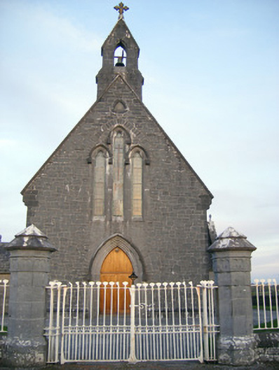 Catholic Church of Saint Peter and Saint Paulchurch/chapel · 358 yd
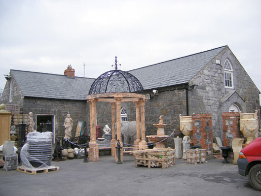 Old School Housechurch/chapel · 399 yd
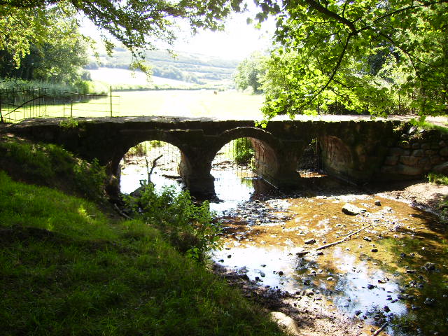 BarrowBarrow, ring-barrow · 600 yd
 Villiers WellSpring · 1.5 mi
 Castle FieldCastle, unclassified · 1.5 mi
 Ballinveala Castle (in ruins)Castle, tower house · 1.6 mi
 Monasteranenagh AbbeyHeritage attraction · 4.2 mi
 Biodiversity in the Maigue CatchmentVisitor information · 4.6 mi
 European ashEuropean ash · 4.9 mi
 European BeechEuropean Beech · 4.9 mi
 Adare Desmond CastleMedieval castle · 4.9 mi