What is recorded here
Marked as a subrectangular hachured feature only on the 1907 ed. of the OS 6-inch map, and situated towards the bottom of a NE-facing slope at the S shore of Lough Melvin. It was described in the 1940s (SMR file) as a rectangular area with rounded corners, which was defined by the lake-shore at N and principally by a fosse or moat ‘7 feet wide at W to 11 feet wide at E (Wth c. 2-3.3m)’ that had a depth of ‘3 feet 6 inches generally to 5 feet at E (D c. 1-1.5m)’. An internal bank had been leveled at S but rose steeply ‘5 feet 6 inches to 6 feet 6 inches (H c. 1.7-2m)’ from the bottom of the moat at E and W. However, its internal height was barely ‘6 inches to 1 foot 6 inches (int. H c. 0.15-0.45m)’. The monument has now been removed, but is visible as a grass-covered area (dims c. 40m NE-SW; c. 30m NW-SE) rising slightly above the general ground level. An earthen bank (Wth 4.2m; H 0.75m) with slight traces of an external fosse or moat survives at one point on the NW side. The church (LE001-015001-) is c. 50m to the W and the crannog (LE002-014001-) is c. 100m to the NNW.
The above description is derived from 'The Archaeological Inventory of County Leitrim' compiled by Michael J. Moore (Dublin: Stationery Office, 2003). In certain instances the entries have been revised and updated in the light of recent research.
Date of revised upload: 16 December 2015
The monument record does not grant public access. Check the route and ask the landowner before entering private land.
- What survives
- Recorded monument
Places near here
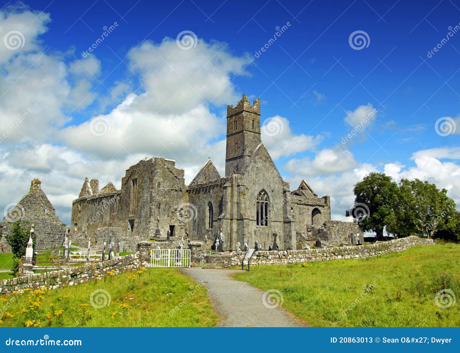 AbbeyChurch · 65 yd
 CastleCastle, tower house · 75 yd
 Enclosure in RosfriarEnclosure · 1016 yd
 Giant's GraveArchaeological place · 1023 yd
 Rosfriar PointHeadland · 1168 yd
 Lareen BayBay · 1279 yd
 InisheherIslet · 1403 yd
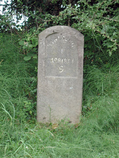 milestone/milepostmilestone/milepost · 1.0 mi
 Enclosure in GorteendarraghEnclosure · 1.3 mi
 InishmeanIslet · 1.6 mi
 Arroo MountainMountain / peak · 1.8 mi
 Conwal NorthMountain / peak · 2.7 mi