What is recorded here
Situated on the S side of a high, gradual rise, in pasture, with excellent views to E, SE and S. Monument described as a subrectangular-shaped area enclosed by an inner bank, an intervening fosse and an outer bank, a gap at SE probably represents the entrance. The inner earth and stone bank is almost reduced to a scarp and is much disturbed by modern gaps at W, NW and E. The fosse is visible along the NE side and along the NW half of the SW side. There is a very low outer bank on the NE side only. The interior has a gentle SE-facing slope and is scattered with loose stones. A house site (WM025-091001-) adjoins the interior of the bank at SW and a Man-made underground passage (WM025-091002-) is located in the NE quadrant.
Compiled by Alison McQueen, Vera Rahilly and Caimin O’Brien.
Date of upload: 12 September 2019
The monument record does not grant public access. Check the route and ask the landowner before entering private land.
- What survives
- Recorded monument
Places near here
 Partially hachuredFairy fort / earthen ringfort · 234 yd
 OutlinedEnclosure · 395 yd
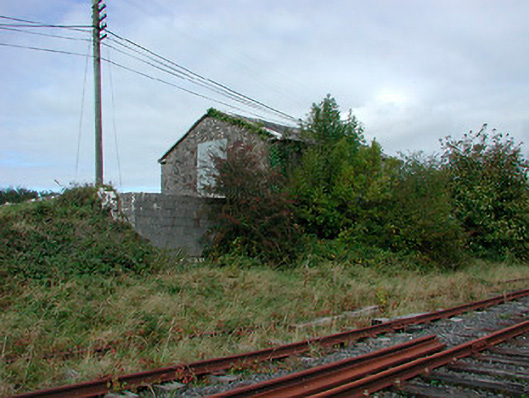 Castletown Railway Stationstore/warehouse · 816 yd
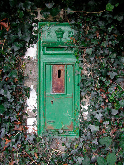 post boxpost box · 959 yd
 Adamstown Castle (in Ruins)Castle, tower house · 1232 yd
 CastleCastle, tower house · 1491 yd
 Hill of UisneachMountain / peak · 2.5 mi
 European ashEuropean ash · 3.0 mi
 Sam's ParkForest · 3.4 mi
 KnockastiaMountain / peak · 5.0 mi
 St. Columba's WellSpring · 9.5 mi
 Moate HillMountain / peak · 9.6 mi