What is recorded here
No surface evidence remains. Not marked on current edition of the OS 6-inch map and unlikely to have been an antiquity. Marked as a rectangular enclosure on first edition of the OS 6-inch map. Classify as possible moated site that was levelled between 1838 and 1888..
Compiled by: Caimin O'Brien
Date of upload: 17 December 2007
The monument record does not grant public access. Check the route and ask the landowner before entering private land.
- What survives
- Recorded monument
Places near here
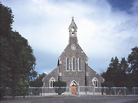 Catholic Church of the Sacred Heartchurch/chapel · 836 yd
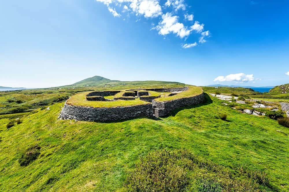 Enclosure in KilbrackanEnclosure · 1128 yd
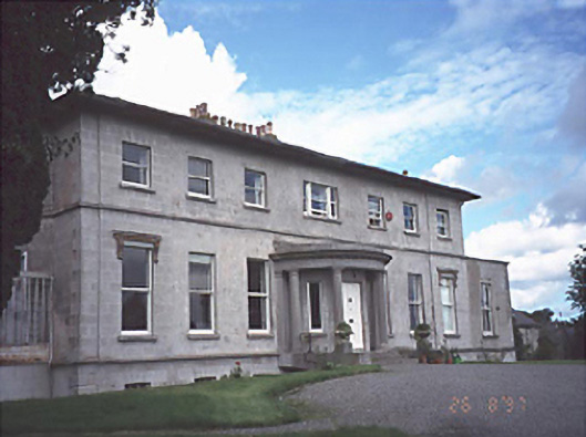 Rath Househouse · 1194 yd
 OutlinedCastle, unclassified · 1355 yd
 Enclosure in BellegroveEnclosure · 1.3 mi
 Dangan's WoodWood · 2.1 mi
 Green's WoodForest · 2.2 mi
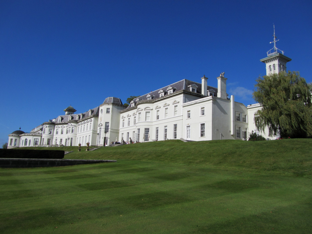 Cloney CastleCastle, unclassified · 3.2 mi
 Emo CourtHeritage attraction · 4.1 mi
 Church (in Ruins), GraveyardChurch · 4.3 mi
 Bog Lake WalkWalking route · 6.7 mi
 Bog Oak WalkWalking route · 7.0 mi