What is recorded here
In pasture, on a very gentle SW-facing slope. A sub-rectangular area (dims. 28m NE-SW; 26m NW-SE) defined by a scarp (Wth 2.2m; H 1.15m); a U-shaped fosse (overall Wth 6.65m; basal Wth 2.75m; D 0.55m) along the SW (L 23m), NW (L 30m) and NE (L 26m) sides but very poorly defined along the SE side (L 21m) and the remains of an outer bank (overall Wth 3.9m; Wth at top 1.5m; int. H 0.7m; ext. H 0.15m) at the NW half of the SW side and possible remains at the SW end of the SE side. There is a causewayed entrance (Wth 3m) off-centre to SE of NE side. The interior has a gentle downslope to SW and is obscured by lush vegetation.
Compiled by: Jean Farrelly
Date of upload: 26 August 2011
The monument record does not grant public access. Check the route and ask the landowner before entering private land.
- What survives
- Recorded monument
Places near here
 Concentric enclosure in KnockkellyConcentric enclosure · 450 yd
 Enclosure in RathkennyEnclosure · 713 yd
 Knockkelly CastleCastle · 821 yd
 Peppardstown Househouse · 1187 yd
 Slainstown Castle (in ruins)Castle, tower house · 1703 yd
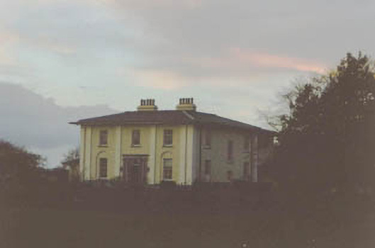 Coolmore Housecountry house · 1.6 mi
 Kilknockan HillMountain / peak · 1.8 mi
 East GateMemorial · 2.7 mi
 European YewEuropean Yew · 2.8 mi
 Eagle HillMountain / peak · 3.3 mi
 Grove WoodForest · 3.6 mi
 Gobban Saer's GraveArchaeological place · 7.7 mi