What is recorded here
In pasture on N-facing slope. Rectangular area (43.1m E-W; 28.4m N-S) enclosed by earthen bank (int. H 1.65m) to E, S and W; stone-faced field fence to N. Short sections of stone walling replace bank at SE and NW corners. Fosse survives on all sides. Trace of outer bank (ext. H 0.6m) to E and at SW corner. Interior slopes gently upwards to N.
The above description is derived from the published 'Archaeological Inventory of County Cork. Volume 1: West Cork' (Dublin: Stationery Office, 1992). In certain instances the entries have been revised and updated in the light of recent research.
Date of upload/revision: 14 January 2009
The monument record does not grant public access. Check the route and ask the landowner before entering private land.
- What survives
- Recorded monument
Places near here
 Cloghane Househouse · 1150 yd
 Graveyard (Disused)Burial ground · 1234 yd
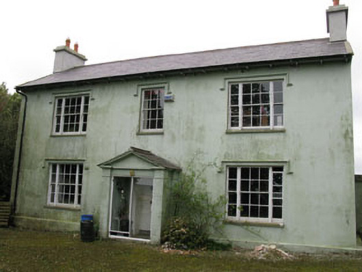 Knocknagappul Househouse · 1274 yd
 Marie LouiseWreck · 1.0 mi
 Grave YdGraveyard · 1.1 mi
 Olympic MemorialMemorial · 1.1 mi
 Ballinadee Millenium ProjectPicnic place · 1.2 mi
 Carrighnassig Castle (Site of)Castle, unclassified · 1.4 mi
 Short Castle (Site of)Castle, unclassified · 1.6 mi
 Shippool WoodWood · 1.7 mi
 Dunderrow WoodWood · 2.0 mi
 Crois Na Leanbh MemorialMemorial · 2.0 mi