What is recorded here
Moated site in Poulakerry (Kilkeary parish), Rosgoordagh is a moated site in Poulakerry (Kilkeary parish), Rosgoordagh, County Tipperary, Ireland. It occupies a north-east to south-west ridge above a ravine, with a stream at the south-east and a ringfort to the west. The inventory describes a raised square area, 48 metres north-west to south-east and 40 metres north-east to south-west, enclosed by a flat-topped bank and outer fosse.
Situated atop a NE-SW ridge overlooking a ravine with a stream immediately to the SE and a nearby ringfort (TN028-002) to the W. A well-preserved moated site consisting of a raised square-shaped area (dims. 48m NW-SE; 40m NE-SW) enclosed by a flat-topped bank (Wth 1.5m; int. H 0.5-1m; ext. H 2-2.5m) and outer fosse (Wth 3m; D 1m) with causewayed entrance (Wth 3m) at S. Nineteenth-century field bank planted with beech trees encloses outer fosse. The upland location and dry moat are unusual features of this well-preserved site.
The above description is derived from 'The Archaeological Inventory of County Tipperary. Vol. 1 - North Tipperary' compiled by Jean Farrelly and Caimin O'Brien (Dublin: Stationery Office, 2002). In certain instances the entries have been revised and updated in the light of recent research.
Date of upload/revision: 22 September 2008
The monument record does not grant public access. Check the route and ask the landowner before entering private land.
- What survives
- Recorded monument
Places near here
 Enclosure in Poulakerry (kilkeary Par.)Enclosure · 1028 yd
 IndicatedCastle, motte · 1.0 mi
 Interragh HillMountain / peak · 1.1 mi
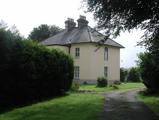 The Presbyterypresbytery/parochial/curate's house · 1.3 mi
 Font in Bunacum,castlequarter (aghameadle Par.)Font · 1.5 mi
 Latteragh Housefarmyard complex · 1.6 mi
 Latteragh Castle (in ruins)Castle, Anglo-Norman masonry castle · 1.6 mi
 Kyleroe WoodWood · 2.4 mi
 Killavalla WoodForest · 2.8 mi
 Knockacraheen HillMountain / peak · 2.9 mi
 James Devaney MemorialMemorial · 6.5 mi
 Thomas MacDonagh Heritage CentreMuseum · 8.0 mi