What is recorded here
Situated on the W bank of a S-N section of the River Boyne with the stream c. 75m to the SE. The cropmark of a rectangular enclosure (dims c. 35m ENE-WSW; c. 30m NNW-SSE) defined by wide fosse or moat features (Wth c. 4m) on every side except the SE where it is lighter, is visible on Google Earth (07/07/2016; 06/06/2018; 29/06/2018). There is a rectangular cellar/pit (dims c. 10m WNW-ESE; c. 10m NNE-SSW) in the interior. It was first reported by Jean-Charles Caillere.
See the attached view from Google Earth (29/06/2018)
Compiled by: Michael Moore
Date of upload: 12 June 2019
The monument record does not grant public access. Check the route and ask the landowner before entering private land.
- What survives
- Recorded monument
Places near here
 Ruinis of Clonee ChurchChurch · 943 yd
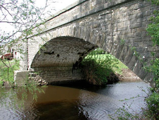 Inchamore Bridgebridge · 1667 yd
 Donore CastleCastle · 1.1 mi
 Concentric enclosure in DalystownConcentric enclosure · 1.2 mi
 European BeechEuropean Beech · 1.5 mi
 Common LimeCommon Lime · 1.5 mi
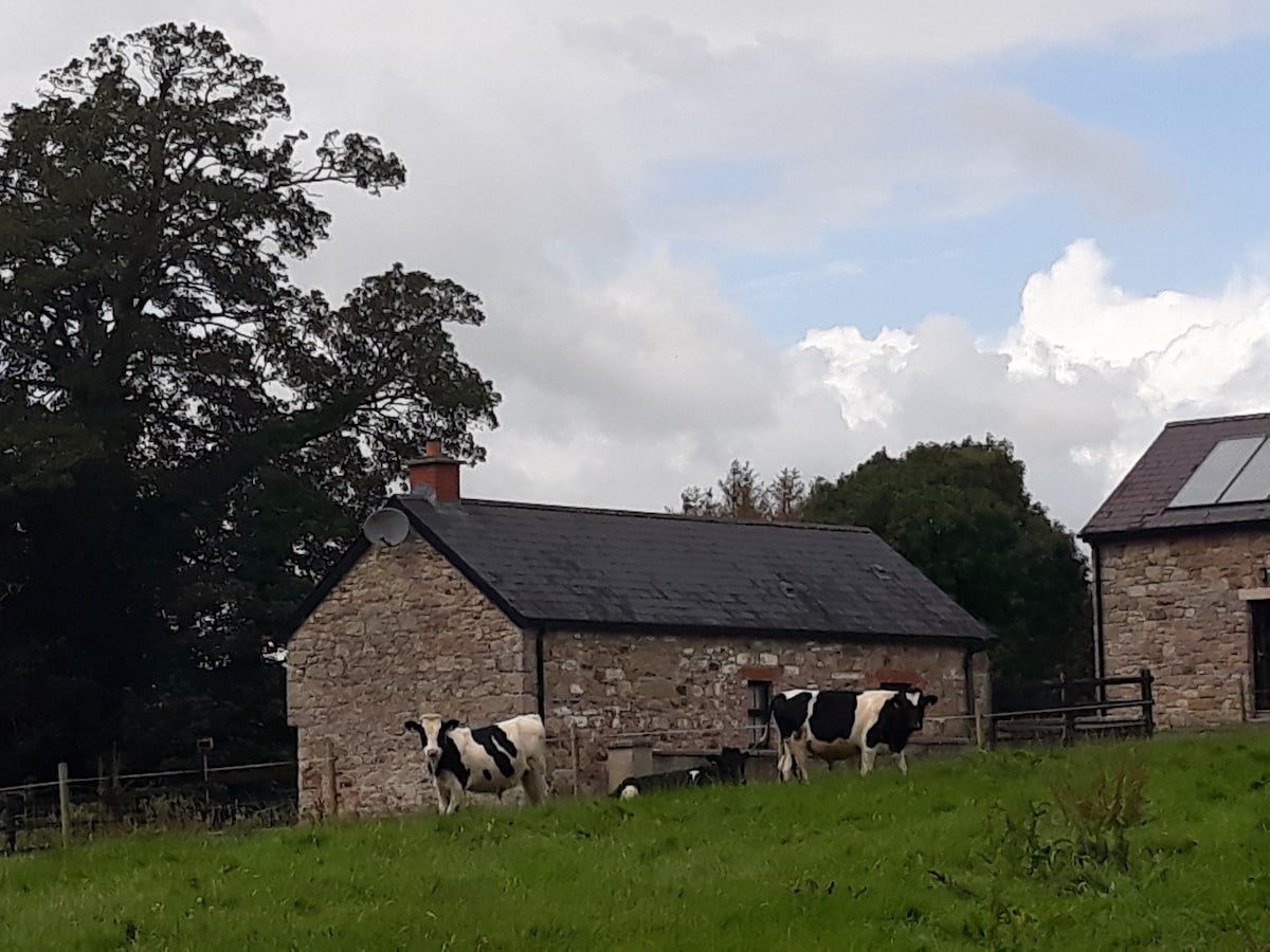 Enclosure in BallymulmoreEnclosure · 1.6 mi
 CastleCastle, motte · 1.6 mi
 Croppies' GraveMemorial · 5.7 mi
 Cloncurry GraveyardHeritage attraction · 8.5 mi
 Old Bog Road made famous by Teresa Bryton 1868-1943Memorial · 9.1 mi
 Kilgar GardensHeritage attraction · 11 mi