What is recorded here
Situated on S facing slope in grassland with stream marking townland boundary with Kilcavan to E. Farmyard depicted on 1837 ed. OS 6-inch map to SW, with former main road connecting Carnew and Aughrim to W. Site of Kilcavan Church (WI047-006001-), ecclesiastical enclosure (WI047-006002-) and cross (WI047-006003-) 210m to ENE, enclosure (WI047-005----) 490m to S. Roughly square-shaped earthwork (approx. int. dims. 35m N-S x 39m E-W) enclosed by a fosse the outline of which is clearly visible on Digital Globe aerial photograph. The W side of the earthwork slightly curves outwards giving the moated site an unusual appearance. The W side may have been modified in the post-medieval period.
Compiled by: Caimin O'Brien with details kindly provided by Faith Bailey
Date of upload: 14 February 2018
The monument record does not grant public access. Check the route and ask the landowner before entering private land.
- What survives
- Recorded monument
Places near here
 Church in Kilcavan UpperChurch · 294 yd
 IndicatedEnclosure · 625 yd
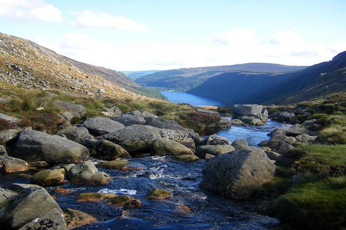 Enclosure in CoolattinEnclosure · 1.2 mi
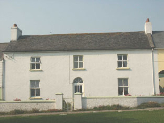 worker's houseworker's house · 1.5 mi
 Drimingall WoodForest · 1.5 mi
 Sessile OakSessile Oak · 1.7 mi
 Saint Brigid's WellSpring · 3.3 mi
 Blue SchoolMemorial · 3.8 mi
 Ballynultagh HillMountain / peak · 3.9 mi
 Craan HillMountain / peak · 4.1 mi
 1798 MemorialMemorial · 4.8 mi
 (Site of) Raymond CastleCastle, unclassified · 5.4 mi