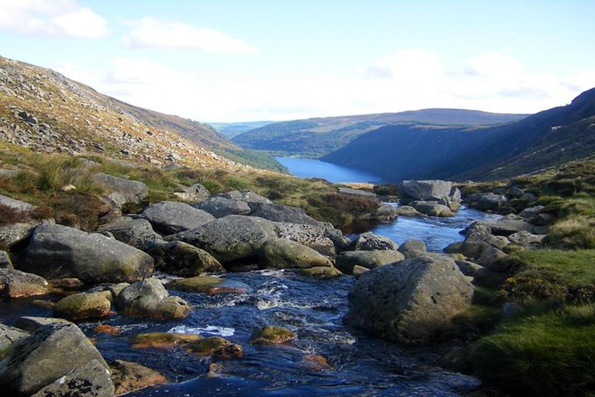
What is recorded here
A circular enclosure which is depicted on the 1st ed. 6-inch OS map (1838) in the style of a rath and OS Name Books (1838/40) refer to '3 small Forts or Raths in the Tld.'. On the 2nd (1907) ed. 6-inch and 25-inch OS map it is depicted as a circular area (diam. c. 31m) outlined by a solid line.
Compiled by: Jean Farrelly
Date of upload: 13 November 2012
A circular early-medieval ringfort (rath) depicted on the 1st edition 6-inch Ordnance Survey map (1838) and noted in the OS Name Books as one of three small forts or raths in the townland. No specific folklore is recorded for the site, though it may have been associated with local traditions of fairy dwellings, as was common for such features in Irish folklore.
The monument record does not grant public access. Check the route and ask the landowner before entering private land.
- What survives
- Recorded monument
Places near here
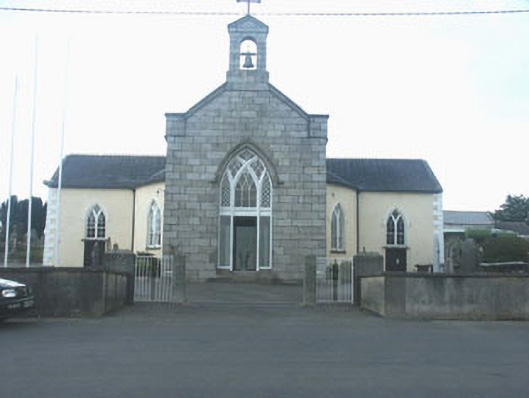 Saint Brigid's Catholic Churchchurch/chapel · 891 yd
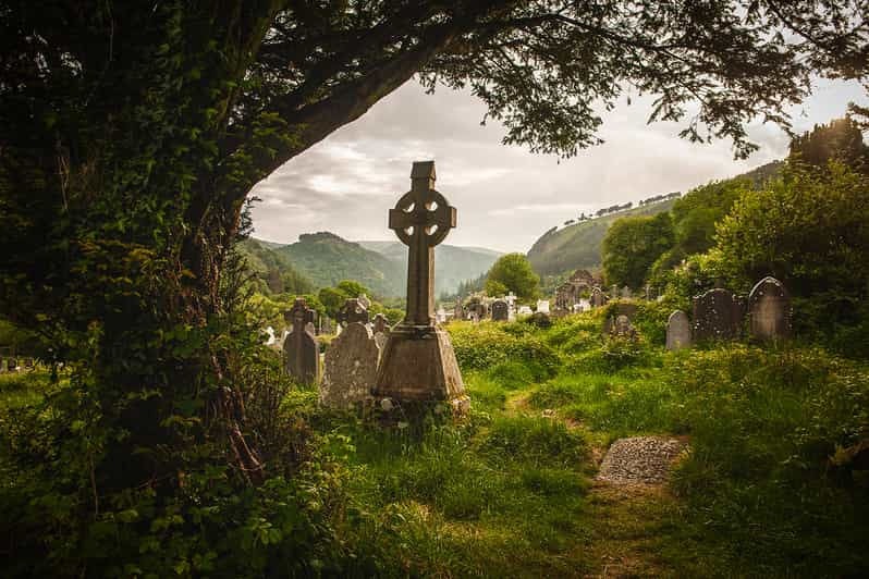 Carrig WoodForest · 1408 yd
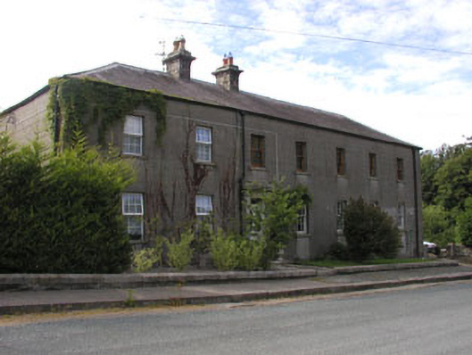 Hunter's Lodge and Oak Havenworker's house · 1.2 mi
 Ballyknocker WoodWood · 1.4 mi
 EnclosureEnclosure, large enclosure · 1.8 mi
 IndicatedFairy fort / earthen ringfort · 1.8 mi
 Ballynultagh HillMountain / peak · 3.2 mi
 Saint Brigid's WellSpring · 4.1 mi
 Blue SchoolMemorial · 4.2 mi
 SlievegowerMountain / peak · 4.8 mi
 1798 MemorialMemorial · 5.6 mi
 (Site of) Raymond CastleCastle, unclassified · 6.0 mi
Other information
Photo: Credit not shown in the picture search · Rights wording not checked; contact us if this picture should be removed