
What is recorded here
Faintly visible on Google Earth aerial imagery (18-7-2021) in level tillage: a very large circular area (diam. c. 160m) defined by the cropmark of a narrow fosse. The N-sector of the feature is truncated by an E-W field boundary but its N-limits are faintly visible as a curving soil-mark in the adjoining field to the N.
See attached image: WI043-033----_01 Snip of Google Earth aerial image (18-7-2021).
Compiled by: Gearóid Conroy based on details provided by Jean-Charles Caillère.
Date of upload: 1 August 2023
The monument record does not grant public access. Check the route and ask the landowner before entering private land.
- What survives
- Recorded monument
Places near here
 Cork oakCork oak · 432 yd
 Shillelagh Church (Aghowle)church/chapel · 437 yd
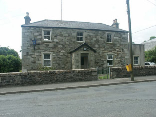 Shillelagh Garda Síochána StationRIC barracks · 459 yd
 European ashEuropean ash · 699 yd
 St. Martins WellHoly well · 1.3 mi
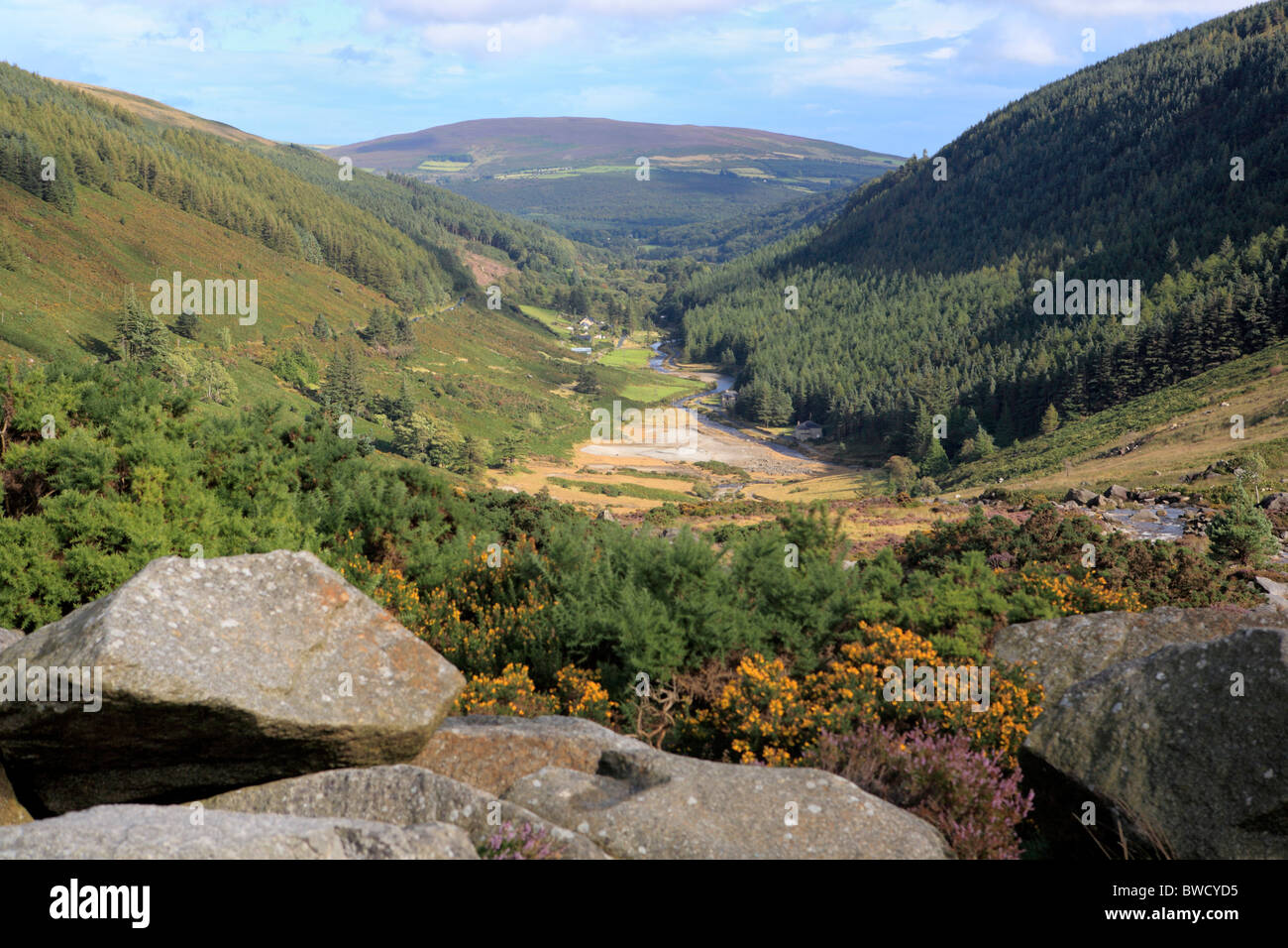 Enclosure in MungacullinEnclosure · 1.7 mi
 Ballynultagh HillMountain / peak · 1.7 mi
 Clonogan Castle (site of)Castle, unclassified · 5.4 mi
 Church (in ruins), GraveyardChurch · 5.7 mi
 Gibbet HillMountain / peak · 5.8 mi
 Saint Brigid's WellSpring · 5.9 mi
 Huntington Castle & GardensHeritage attraction · 6.2 mi
Other information
Photo: Credit not shown in the picture search · Rights wording not checked; contact us if this picture should be removed