What is recorded here
Situated on a marked SE-facing slope. Substantial D-shaped enclosure (max. dims. c. 100m NE-SW; c. 70m NW-SE) defined by two banks shown on the 1838 OS 6-inch map, marked on the current edition as a field boundary. The remains consist of the curving W perimeter; an earthen bank (Wth 4.5m; H 1.3-1.8m) with vertical internal drystone facing and an external fosse (Wth 2.5-3m; D 1.5m). These blend in with field boundaries which mark the NE and SW sides. The straight SE side was indicated by a field boundary, now removed.
From the National Monuments Service (Archaeological Survey of Ireland) record WI047-005
Places near here
Photo credits
- National Inventory of Architectural Heritage
- Maker named on the Wikimedia Commons picture page · CC BY-SA 2.5
- Allie_Caulfield from Germany, Wikimedia Commons · CC BY 2.0
- Goreymurphy, Wikimedia Commons · CC BY-SA 4.0
- Sarah777, Wikimedia Commons · Public domain
- Sarah777 at English Wikipedia, Wikimedia Commons · Public domain
- Andreas F. Borchert, Wikimedia Commons · CC BY-SA 4.0
- Theresa Bois, Wikimedia Commons · CC BY-SA 4.0
- liam murphy, Wikimedia Commons · CC BY-SA 2.0
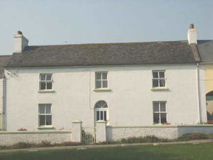 worker's house1.1 mi
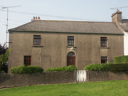 Sycamore LodgeWorker's house · 1.1 mi
 Sessile Oak2.0 mi
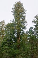 Coast Redwood2.3 mi
 Brides WellHoly well · 3.0 mi
 Saint Brigid's WellSpring · 3.0 mi
 Blue SchoolMemorial · 3.4 mi
 SlieveboyMountain / peak · 4.8 mi
 Annagh HillMountain / peak · 4.9 mi
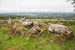 LabbanasigheWedge tomb · 6.2 mi
.jpg/250px-Huntington_Castle,_Co._Carlow_(back).jpg "Photo: Theresa Bois, Wikimedia Commons · CC BY-SA 4.0") Huntington Castle & GardensHeritage attraction · 7.5 mi
Huntington Castle & GardensHeritage attraction · 7.5 miExplorer Tom Huntington Castle & Gardens is a beautiful heritage attraction, and the castle itself looks absolutely stunning in the photos.
 Clonmore Castle (in Ruins)Castle, Anglo-Norman masonry castle · 8.1 mi
Explorer Tom This thirteenth-century Clonmore Castle was a fortress of roughly coursed granite rubble with rectangular towers and an enclosed courtyard.
More archaeology and monuments in County Wicklow · All of County Wicklow
What do you know about this place?Tap to add a comment or ask a question