What is recorded here
Situated in rough pasture in undulating, low-lying, wet terrain with a lot of natural hillocks. Site not marked on either the 1st ed. (1840) or the 1904 ed. OS 6-inch map but identified on an aerial photograph (GSIAP, S 84/3) as a rectangular enclosure. A rectangular area (dims. 28.5m NW-SE; 36.5m NE-SW) delimited by a scarp (ext. H 1.09) and a U-shaped fosse (Wth 2.5m; D 0.71m) with a broad, outer earthen bank (Wth 3.5m; ext. H 0.43m), not visible at the N end of the W side. The bank terminates at each corner where channels have created four possible leats. The E channel joins up with an external drainage trench. The N angle is quite denuded as it is part of a tractor route and there is a lot of slippage of the scarp into the fosse. The interior of the site undulates following the natural contours of the hillock. No obvious entrance feature. This enclosure may be a by-product of the drainage activity in the field.
The above description is derived from 'The Archaeological Inventory of County Tipperary. Vol. 1 - North Tipperary' compiled by Jean Farrelly and Caimin O'Brien (Dublin: Stationery Office, 2002). In certain instances the entries have been revised and updated in the light of recent research.
Date of upload/revision: 22 September 2008
The monument record does not grant public access. Check the route and ask the landowner before entering private land.
- What survives
- Recorded monument
Places near here
 Longford WoodForest · 985 yd
 Enclosure in Longford WoodEnclosure · 1594 yd
 Enclosure in KnockaunavoggaEnclosure · 1660 yd
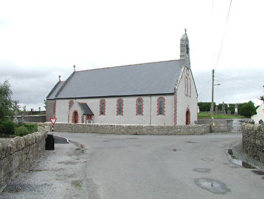 Saint Brigid's Catholic Churchchurch/chapel · 1.2 mi
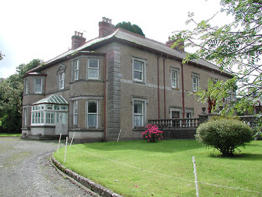 Skehanagh Househouse · 1.3 mi
 Castle (in ruins)House, fortified house · 1.3 mi
 CastleCastle, ringwork · 2.1 mi
 BenduffMountain / peak · 2.7 mi
 College HillMountain / peak · 2.9 mi
 Kyleroe WoodWood · 6.3 mi
 Thomas MacDonagh Heritage CentreMuseum · 9.2 mi
 MacDonagh HouseMemorial · 9.2 mi