What is recorded here
In pasture, on gently-undulating terrain. Rectangular slightly raised area (39.5m N-S; 60.8m E-W) enclosed by inner earthen bank, outer earthen bank and intervening fosse. Inner bank (int. H 0.65m) survives NNW-> N; elsewhere defined by scarped edge (H 1.65m). Outer bank (int. H 1m; ext. H 0.52m) best preserved along SE->SW, does not survive along W side where clipped by field wall running along base of fosse; field wall merges with inner scarp edge at NW where it forms gap (Wth 3.2m). Outer bank replaced by earth and stone field bank along N and E sides, gap (Wth 4.2m) at NW corner. Interior, used as small pasture field, slightly higher S half due to outcropping limestone. Listed as a moated site by Barry (Barry 1981, 84; site no. 29).
Compiled by: Denis Power
Date of upload: 26 August 2011
The monument record does not grant public access. Check the route and ask the landowner before entering private land.
- What survives
- Recorded monument
Places near here
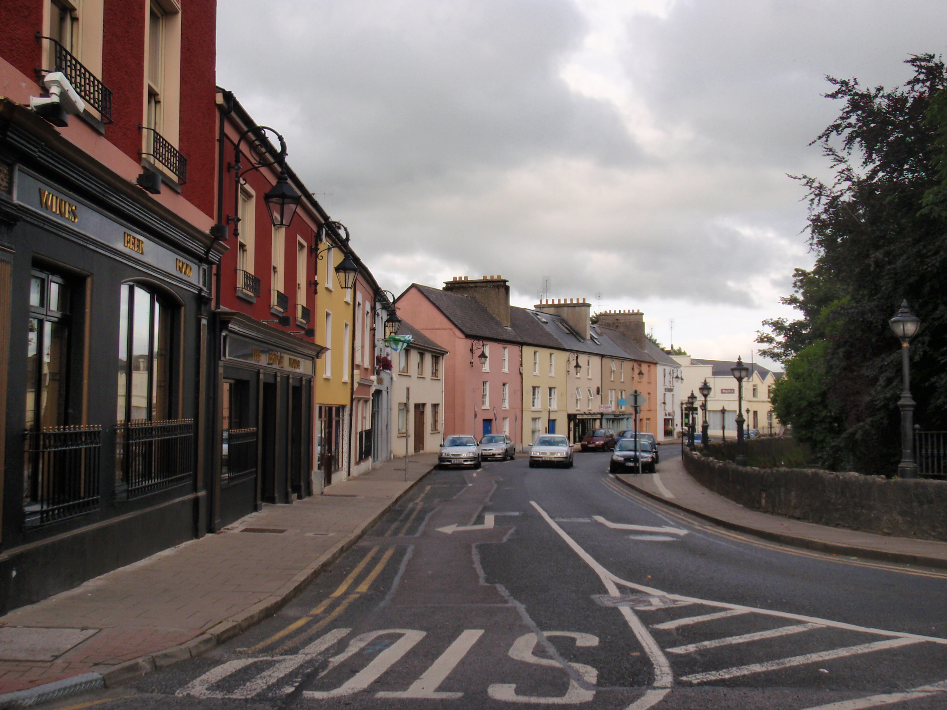 IndicatedFairy fort / earthen ringfort · 1429 yd
 Burial ground in DromlohanBurial ground · 1627 yd
 schoolschool · 1685 yd
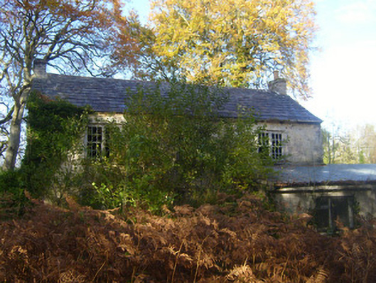 Dromlohan National Schoolschool · 1692 yd
 Carriganea CastleCastle · 1.2 mi
 Bawn in Castletown (kenry By.)Bawn · 1.3 mi
 Stonehall Visitor FarmHeritage attraction · 2.0 mi
 European YewEuropean Yew · 2.1 mi
 Curraghchase Forest ParkForest · 2.3 mi
 Sweet ChestnutSweet Chestnut · 2.7 mi
 Ringmoylan PierVisitor information · 3.0 mi
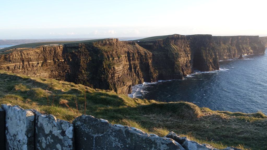 Conor's RockNamed rock · 3.8 mi