What is recorded here
Situated on a slight rise on a very gentle N-facing slope. This is a raised (H at N: 2.9m), rectangular and grass-covered area (dims 65m E-W; 21m N-S) defined by a severely eroded moat (at S: Wth of top 14m; int. D 1.3m; ext. D 0.4m) on each side, that at N being reduced to a berm (Wth 4m). There may be a causeway towards the W end of the N side. It is overlaid by a NNE-SSW roadway towards the E edge of the platform, and the monument is best preserved at the SE angle which is E of the roadway where the E end of the S side is well preserved and there is an internal bank (Wth of base 6m; int. H 0.3m; ext. H 1.3m), a moat (Wth of top 10.3m; Wth of base 4m; ext. H 1.1m) and an outer bank (Wth of top 3m; ext. H 0.5m).
Compiled by: Michael Moore
Date of upload: 16 April 2019
Amended: 3 March 2023
The monument record does not grant public access. Check the route and ask the landowner before entering private land.
- What survives
- Recorded monument
Places near here
 Font in MartryFont · 466 yd
 CrossCross, Wayside cross · 935 yd
 Lough WoodWood · 1005 yd
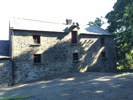 Martry Millmill (water) · 1491 yd
 BallybegMountain / peak · 1732 yd
 TuliptreeTuliptree · 1.0 mi
 Scoil Náisiúnta Chaitríona Naofaschool · 1.7 mi
 CastleCastle, unclassified · 1.8 mi
 Faughan HillMountain / peak · 2.1 mi
 Castle ruinsCastle · 2.3 mi
 Saint John's CemeteryMemorial · 3.4 mi
 The New Line RoadMemorial · 3.4 mi