What is recorded here
No visible castle in Lisnevagh, Carlow, but a rectangular chamber of water and causeway still stands beside the Derreen. A deep leat splits at the river, feeding above and below the weir, while tower foundations wait in the north-east corner. The moat did not surround a palace so much as shape a working place where water, stone and boundary met.
Rectangular area defined by a rush filled stone faced fosse on S and W sides, townland boundary on N side and structure (CW009-007003-) on E side. Foundations of tower (CW009-007002-) in NE quadrant. A deep rush filled leat is separated from the fosse by a causeway, it leads SE to the Derreen River where it divides, one branch running N to join the river above the weir and a second running S where it joins the river below the weir.
Compiled by: Claire Breen
Date of upload: 19 August 2011
The monument record does not grant public access. Check the route and ask the landowner before entering private land.
- What survives
- Recorded monument
Places near here
 Acaun Monastery (in ruins)Religious house, Augustinian friars · 1 yd
 Acaun Church (in ruins), GraveyardChurch · 114 yd
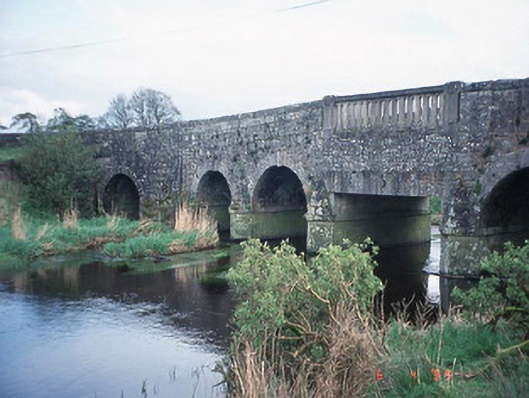 Acaun Bridgebridge · 256 yd
 Haroldstown DolmenArchaeological place · 289 yd
 Site of CastleCastle, unclassified · 926 yd
 CastleCastle, unclassified · 1135 yd
 Church (in ruins), GraveyardChurch · 2.8 mi
 European ashEuropean ash · 3.2 mi
 Rath WoodForest · 3.7 mi
 Eagle HillMountain / peak · 4.4 mi
 Ballycumber HillMountain / peak · 8.2 mi