What is recorded here
Thirty metres of raised grass and an eleven-metre water trap mark a rectangular hold on a south-facing slope in Lisnagoorneen. A farmer tried to level it before Grove White walked past, but the earth kept its shape beneath pasture and forgetting. The missing lime kiln and hidden passage suggest the site still holds more than it shows.
Indicated as rectangular enclosure planted with trees on 1842 OS 6-inch map, with lime kiln at NW corner; as hachured rectangular raised area on 1935 OS 6-inch map. In pasture, below crest of ridge on S-facing slope. Grass-covered, rectangular platform (60m E-W; 28m N-S) enclosed by shallow wide fosse (Wth 11m). Interior raised 0.7m on E side above level of surrounding field; no visible surface trace of lime kiln at NW corner. Grove White (1905-25, vol. 4, 38) was informed that 'some years ago the farmer on whose land it was took steps to have it levelled...It has been described as an oblong fort...'. Man-made underground passage (13301) outside S rampart.
The above description is derived from the published 'Archaeological Inventory of County Cork. Volume 4: North Cork' (Dublin: Stationery Office, 2000). In certain instances the entries have been revised and updated in the light of recent research.
Date of upload/revision: 14 January 2009
The monument record does not grant public access. Check the route and ask the landowner before entering private land.
- What survives
- Recorded monument
Places near here
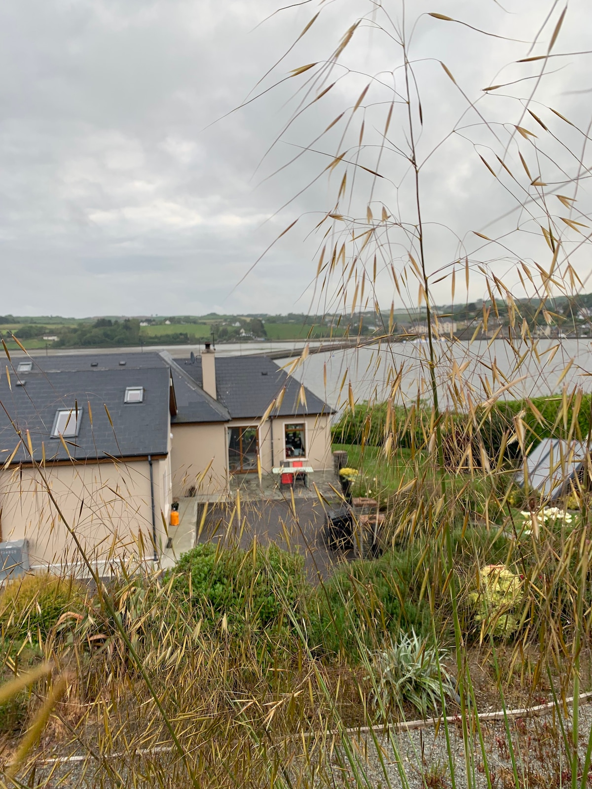 Man-made underground passage in LisnagoorneenMan-made underground passage · 1 yd
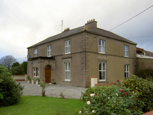 Lisnagoorneen Househouse · 748 yd
 Enclosure in BallydoyleEnclosure · 901 yd
 IndicatedKiln, lime · 1634 yd
 Carrigdownane Castle (in Ruins)Castle, Anglo-Norman masonry castle · 1.6 mi
 Derryvillane Castle (in Ruins)Castle, unclassified · 1.7 mi
 Anne's Grove GardensHeritage attraction · 2.0 mi
 Flat cemetery in Ballyenahan NorthFlat cemetery · 2.2 mi
 Graveyard in BoherashGraveyard · 2.9 mi
 Horse Field WoodForest · 3.5 mi
 North Meadow WoodForest · 3.5 mi
 Blackwater (Avondhu) WayWalking route · 4.1 mi