
What is recorded here
From the National Monuments Service (Archaeological Survey of Ireland) record TS058-021
Places near here
Photo credits
- National Inventory of Architectural Heritage
- Maker not stated on source page, fr.pinterest.com
- Maker not stated on source page, www.pinterest.com
- Kmcnamee, Wikimedia Commons · CC BY-SA 4.0
- Falk2, Wikimedia Commons · CC BY-SA 4.0
- Golfing in Ireland; photographer not stated, Source publisher
- Maker not stated on source page, www.ireland.com
- Maker not stated on source page, www.alamy.com
- No machine-readable author provided. Christian1965~commonswiki assumed (based on copyright claims)., Wikimedia Commons · Public domain
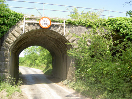 bridge1300 yd
Explorer Tom Bridge in Milltown was built on a bargain where the builder promised free sandwiches to anyone who could carry a stone…
 Standing stone in Kyle (solloghodbeg Par.)Standing stone · 1635 yd
Explorer Tom Standing stone in Kyle is tapering towards the top like a pencil that’s been sharpened by time and neglect. There was…
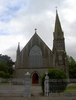 Saint Nicholas's Catholic ChurchChurch/chapel · 1.0 mi
Explorer Tom Saint Nicholas's Catholic Church would teach history by showing off its stained glass like a teacher with too much…
 Enclosure in Moanmore (solloghodmore Par.)Enclosure · 1.0 mi
Explorer Tom This Enclosure in Moanmore hosted a dance that went on for three days and ended with everyone stuck in the mud. It’s…
 Solohead GAA pitchGAA ground · 1.2 mi
 Limerick Junction Railway StationRailway station · 1.3 mi
Explorer Tom Limerick Junction Railway Station looks like it was designed by a very strict mother-in-law who loved symmetry. It’s…
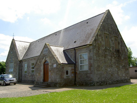 Monard National SchoolSchool · 1.6 mi
Explorer Tom Monard National School is built on the Stanley estate and looks like a tiny Tudor castle that got lost on its way to…
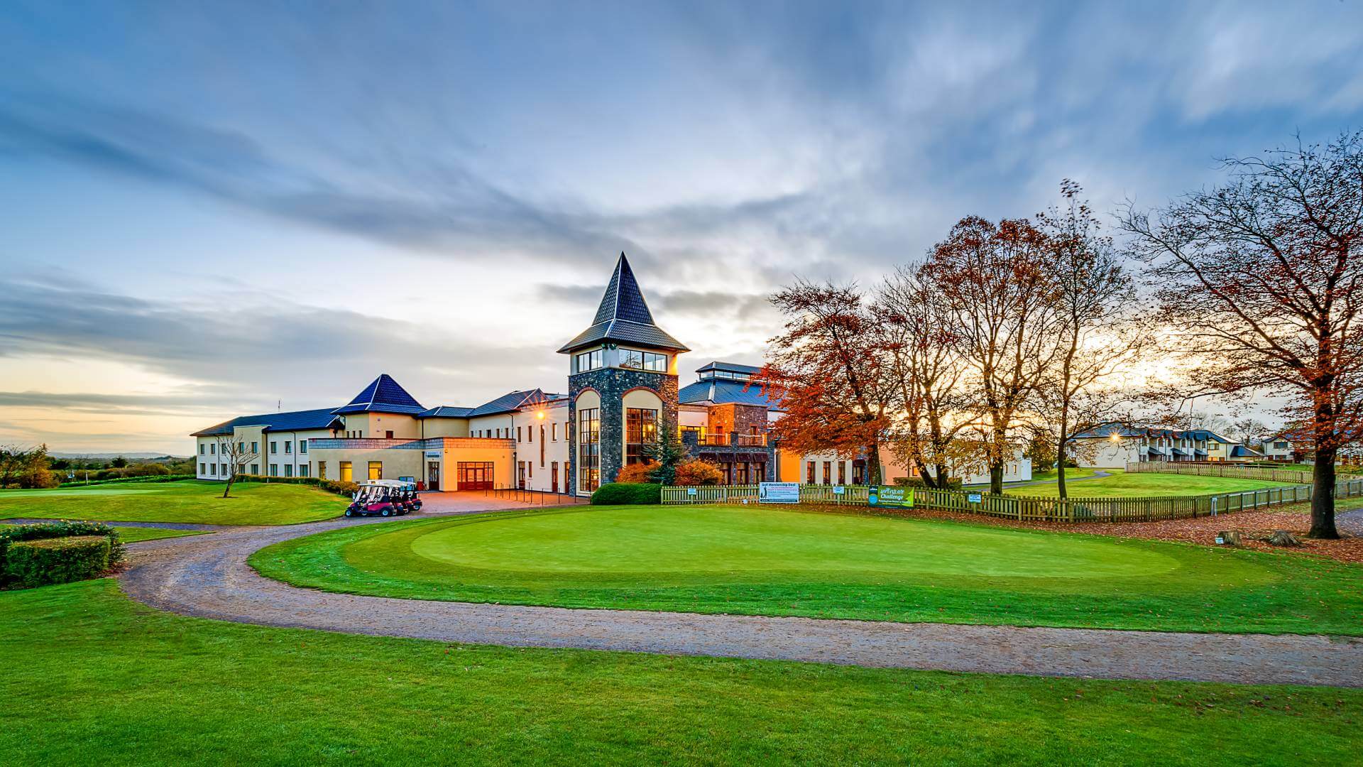 Ballykisteen Golf ClubGolf course · 1.7 mi
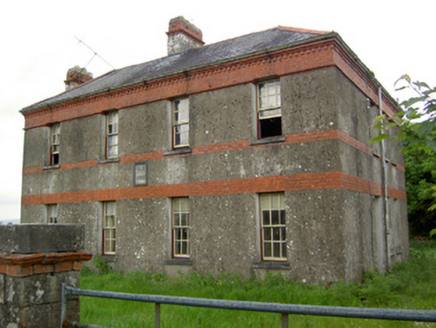 Victoria HouseOffice · 1.7 mi
Explorer Tom Victoria House in Barronstown is an old postal office that now just sits there judging your life choices from its red…
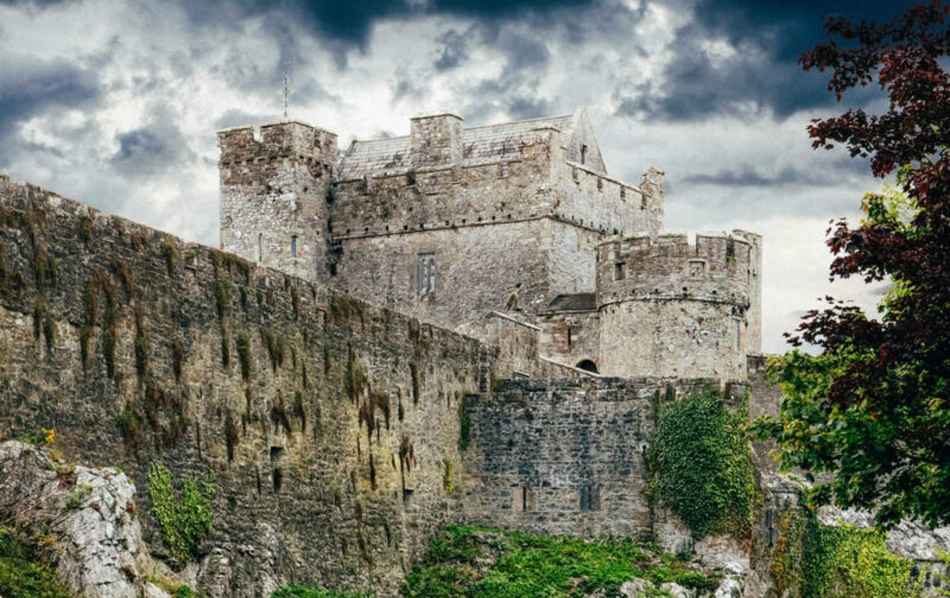 Castle LoughryArchaeological place · 5.0 mi
Explorer Tom Castle Loughry once hosted the most dramatic argument in Tipperary history, where two chaps threw a hat at each other…
 CastleCastle, ringwork · 5.0 mi
Explorer Tom Castle in Glenbane is a ringwork that probably smuggled contraband cheese inside its walls during the midday lull. It…
 Áine and Gearóid Iarla: Lough GurLegend location · 14 mi
Explorer Tom Áine and Gearóid Iarla: Lough Gur has a goddess for the lake and a sleeping lord in the old stories. I thought I was…
More archaeology and monuments in County Tipperary · All of County Tipperary

What do you know about this place?Tap to add a comment or ask a question