What is recorded here
In low-lying marshy grassland. This rectangular enclosure (37m E-W; 34m N-S), in fair condition, is defined by a bank of earth and stone and an external fosse. The bank is best preserved along the E side. A field bank overlies the fosse on the W side. A small bridge crosses the fosse at N and a causeway crosses it at S. Between these two points a field fence and trackway cut across the interior. In the SE quadrant, a small rectangular structure (L 7.3m; Wth 4m), defined by a bank of earth, abuts the enclosing element. Possibly a moated site. (Cody 1989, 330-31, no. 146)
Compiled by: Galway Archaeological Survey, UCG
Date of upload: 10 April 2019
The monument record does not grant public access. Check the route and ask the landowner before entering private land.
- What survives
- Recorded monument
Places near here
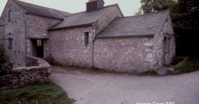 Corn MillMill, corn · 1018 yd
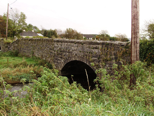 Kiltullagh Bridgebridge · 1244 yd
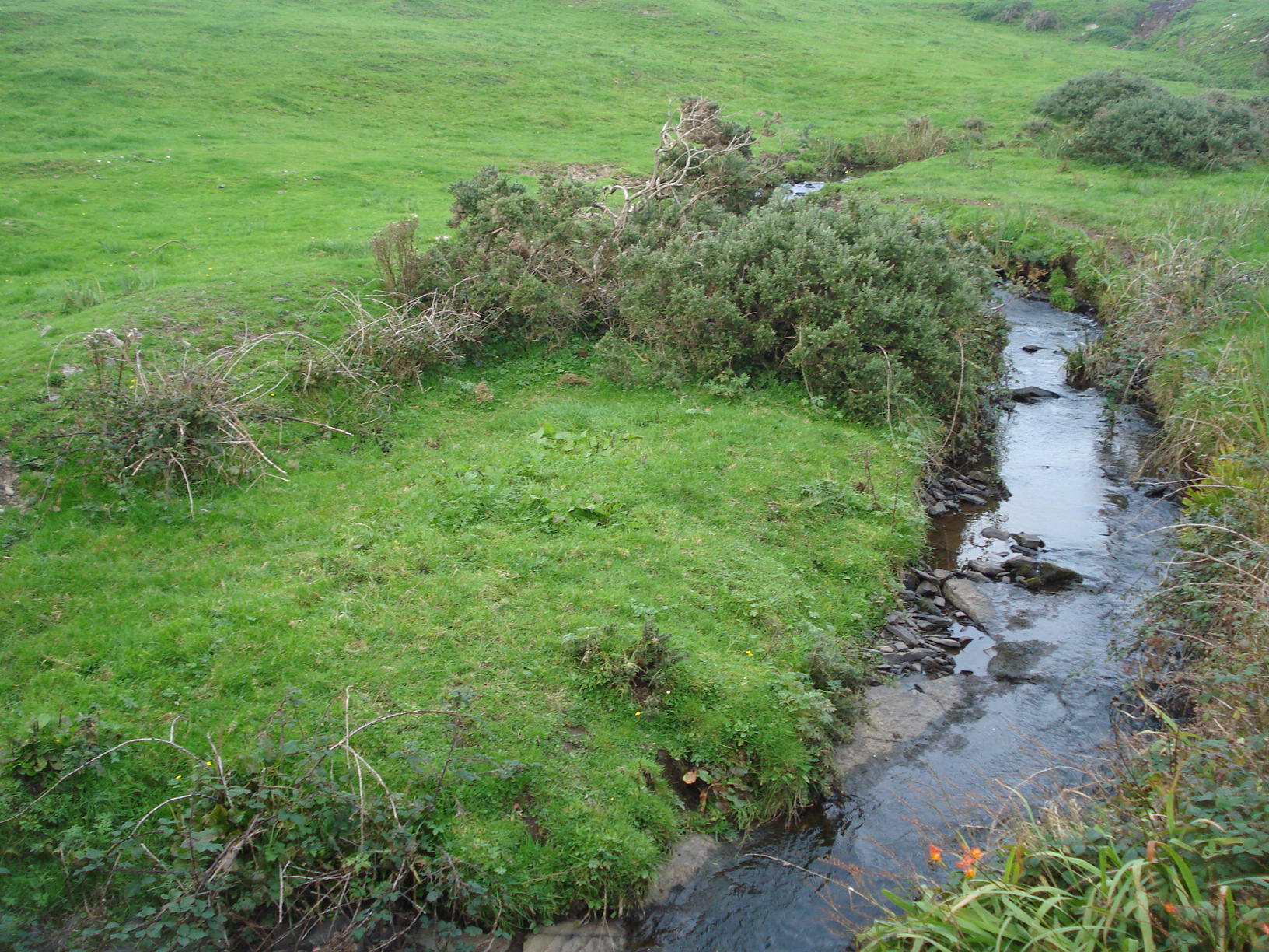 Field system in Carrowkeel (athenry By.)Field system · 1655 yd
 Field system in ClogharevaunField system · 1703 yd
 Castle (in ruins)Castle, tower house · 1.7 mi
 MoteCastle, motte and bailey · 2.5 mi
 Turoe StoneHeritage attraction · 3.1 mi
 Moyard WoodWood · 3.9 mi
 Barrack IslandIslet · 6.2 mi
 Middle IslandIslet · 6.2 mi
 Kilconnell AbbeyHeritage attraction · 9.7 mi
 Menlough IRAMemorial · 9.9 mi