What is recorded here
In pasture, on top of low rise. Remains of square area (dims. 29m N-S; 45m E-W) defined by earthen bank (Wth 5.9m; int. H 0.5m; ext. H 2.05m) along S-end of E-side (L 14m), S-side (L 36m) and most of W-side (L 26m); N-side (L c. 46m) is levelled. Traces of levelled scarp (Wth c. 5m; H c. 0.5m) along N-side and N half of E-side. Possible external fosse (basal Wth 3.5m; top Wth 8.65m; D 0.95m). Field boundary encloses monument to S and W. Road (TS069-001----) 180m to E.
Compiled by: Jean Farrelly
Date of upload: 26 August 2011
The monument record does not grant public access. Check the route and ask the landowner before entering private land.
- What survives
- Recorded monument
Places near here
 Church (in ruins)Church · 955 yd
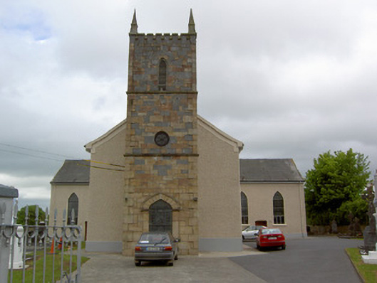 Catholic Church of Our Lady Queenchurch/chapel · 1277 yd
 Enclosure in Loughkent WestEnclosure · 1483 yd
 RahinaghmoreEnclosure · 1.1 mi
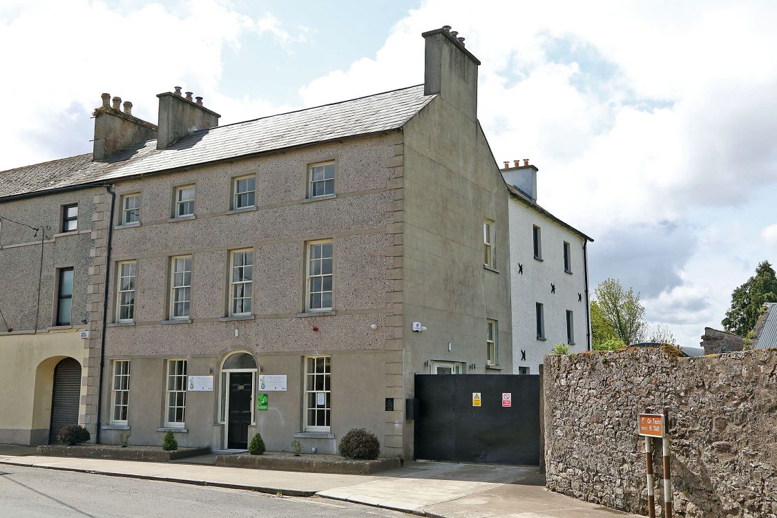 Woodinstown Ho.Castle, tower house · 1.2 mi
 Bawn in Carrigeen (knockgraffon Par.)Bawn · 1.2 mi
 Caher AbbeyHeritage attraction · 5.2 mi
 Siege of Cahir Castlesiege · 5.4 mi
 Athassel PrioryHeritage attraction · 5.4 mi
 European YewEuropean Yew · 6.5 mi
 Cottagehill WoodForest · 6.6 mi
 SturrakeenMountain / peak · 8.7 mi