What is recorded here
Located on a gradual E-facing slope in undulating pastureland with a bowl-barrow (TN014-052) located c. 30m to the N. The ground to the N and E is liable to flood. A roughly rectangular area (dims. 33.7m N-S; 30m E-W) defined by an earthen bank (Wth 1.5m; ext. H 0.53m) and by an outer fosse (Wth 2.2m) in the N quadrant. The bank in the S and E quadrants is incorporated into the field bank which has been augmented by stone as a result of field clearance.
Compiled by: Caimin O'Brien.
Date of upload: 22 September 2008
The monument record does not grant public access. Check the route and ask the landowner before entering private land.
- What survives
- Recorded monument
Places near here
 Knigh Church (in Ruins)Church · 424 yd
 Knigh Castle (in ruins)Castle, tower house · 574 yd
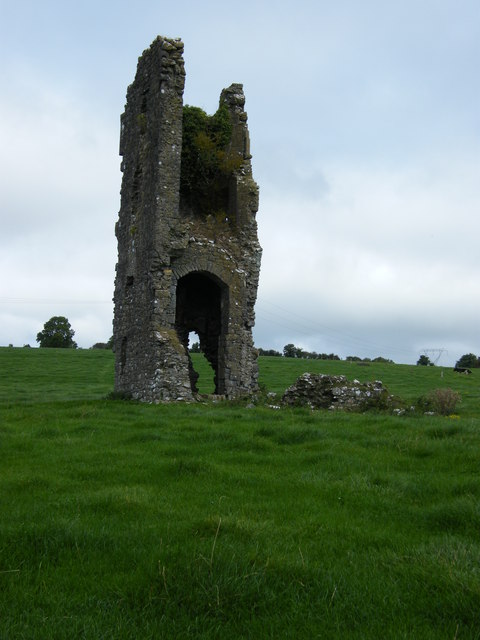 Knigh CastleCastle · 577 yd
 Hillfort in KnighHillfort · 1118 yd
 Enclosure in LoughournaEnclosure · 1284 yd
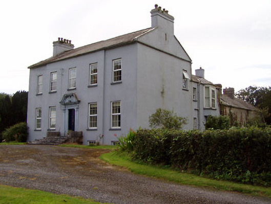 Lisduffhouse · 1750 yd
 Knigh HillMountain / peak · 1.1 mi
 Old BarracksHeritage attraction · 3.0 mi
 James Devaney MemorialMemorial · 3.1 mi
 Nenagh Heritage CentreMuseum · 3.1 mi
 Goose IslandIslet · 3.2 mi
 Dromineer BayBay · 3.7 mi