What is recorded here
Situated on the low-lying level area drained by a small stream to the N of the site. Rectangular enclosure (dims. 75m N-S; 70m E-W) defined by a wide shallow fosse (Wth 6-8m). The interior is c. 1-1.2m higher than the surrounding ground level. There is no evidence for a bank and at the N and E the fosse merges into the field boundary.
The above description is derived from the published 'Archaeological Inventory of County Wicklow' (Dublin: Stationery Office, 1997). In certain instances the entries have been revised and updated in the light of recent research.
Date of upload/revision: 17 December 2008
The monument record does not grant public access. Check the route and ask the landowner before entering private land.
- What survives
- Recorded monument
Places near here
 Enclosure in Coolroe GreatEnclosure · 293 yd
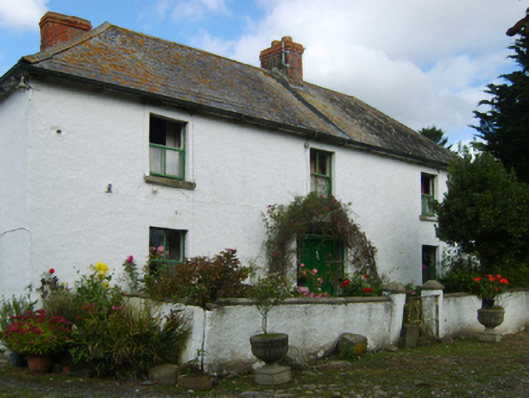 farm housefarm house · 1134 yd
 site of EntrenchmentFortification · 1594 yd
 Clogga StrandBeach / strand · 1.3 mi
 Arklow RockMountain / peak · 1.4 mi
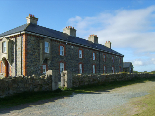 Kilmichael Point Coastguard Stationcoastguard station · 1.4 mi
 Nuns BeachBeach / strand · 1.7 mi
 CastleCastle, unclassified · 2.9 mi
 Battle of Arklowbattle · 2.9 mi
 Castle (in ruin)Castle, Anglo-Norman masonry castle · 3.3 mi
 Shirsheen WoodForest · 3.8 mi
 Ballyfad WoodWood · 4.0 mi