What is recorded here
Situated in a low-lying area. Marked on the 1841 and 1906 editions of the OS 6-inch maps and shown on 25" map as a square area (dims. 40m sq.) surrounded by a wide fosse and slight external bank (overall dims. c. 72m N-S, c. 70m E-W). According to local information, the interior of the site was level and covered an area of one and a half Irish acres. It was enclosed by a very deep fosse and high bank. Traditionally known as a flax yard. Site was levelled in late 1950s or early 1960s. No visible surface remains. A series of stone foundations in the area immediately NE of moated site are believed to mark the site of a village associated with the flax yard.
The above description is derived from the published 'Archaeological Inventory of County Laois' (Dublin Stationery Office, 1995) compiled by P. David Sweetman, Olive Alcock and Bernie Moran. In certain instances the entries have been revised and updated in the light of recent research.
Date of upload: 17 December 2007
The monument record does not grant public access. Check the route and ask the landowner before entering private land.
- What survives
- Recorded monument
Places near here
 Burial Gd. (Disused)Church · 650 yd
 Enclosure in CuffsboroughEnclosure · 1008 yd
 European PearEuropean Pear · 1358 yd
 Kyle-cruttiaChurch · 1639 yd
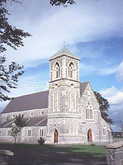 Saint Canice's Catholic Churchchurch/chapel · 1.3 mi
 Ballygeehin Castle (in Ruins)Bawn · 1.7 mi
 CastleCastle, tower house · 1.8 mi
 Big WoodWood · 2.5 mi
 Anker's IslandIsland · 7.4 mi
 Cnoc SeanrathaMemorial · 7.6 mi
 Enclosure in BallycollaEnclosure · 1215 yd
 Enclosure in DairyhillEnclosure · 1489 yd