What is recorded here
In grassland on a SW-facing slope of rising ground in upland area with good views in all directions. Only the SE section of an overgrown scarp (H 0.3m) covered in thorn bushes and nettles survives of this possible moated site along with the E bank (top Wth 1m; base Wth 3m; ext. H 0.5m; int. H 0.5m) which now acts as a field boundary, elsewhere the monument has been levelled and is not visible at ground level. Depicted as a rectangular enclosure (dims. 48m N-S; 44m E-W) on first (1840) ed. OS 6-inch map with E side of enclosure incorporated in a field boundary.
Compiled by: Jean Farrelly
Date of upload: 26 August 2011
The monument record does not grant public access. Check the route and ask the landowner before entering private land.
- What survives
- Recorded monument
Places near here
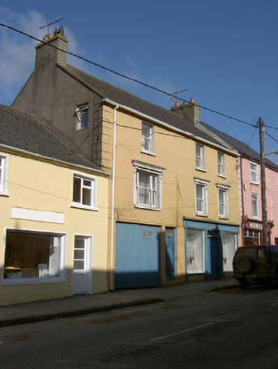 shop/retail outletshop/retail outlet · 719 yd
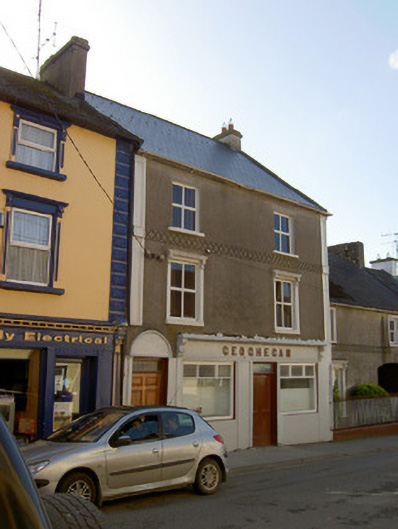 Geogheganhouse · 722 yd
 Slieveardagh Heritage CentreVisitor information · 824 yd
 Site of CastleCastle, motte and bailey · 1015 yd
 Enclosure in Knockavadagh,springhill (killenaule Par.)Enclosure · 1664 yd
 RathmooleyFairy fort / earthen ringfort · 1725 yd
 CastleCastle, ringwork · 1.5 mi
 Eagle HillMountain / peak · 2.4 mi
 Waterloo HillMountain / peak · 2.9 mi
 Noan WoodWood · 3.3 mi
 Gobban Saer's GraveArchaeological place · 3.3 mi
 Derrynaflan TrailHeritage attraction · 3.6 mi