What is recorded here
Situated in a low-lying, marshy valley, under pasture, immediately E of moated site TN027-014001). A rectangular enclosure (dims. 40.7m N-S; 41.6m E-W) defined by a very shallow fosse (Wth 2m) identified on aerial photograph taken in June 1963 (GSIAP, R 22/1). The site is bisected roughly N-S by a post and wire fence. The field has many undulations and drainage ditches and the site may be associated with these.
The above description is derived from 'The Archaeological Inventory of County Tipperary. Vol. 1 - North Tipperary' compiled by Jean Farrelly and Caimin O'Brien (Dublin: Stationery Office, 2002). In certain instances the entries have been revised and updated in the light of recent research.
Date of upload/revision: 22 September 2008
The monument record does not grant public access. Check the route and ask the landowner before entering private land.
- What survives
- Recorded monument
Places near here
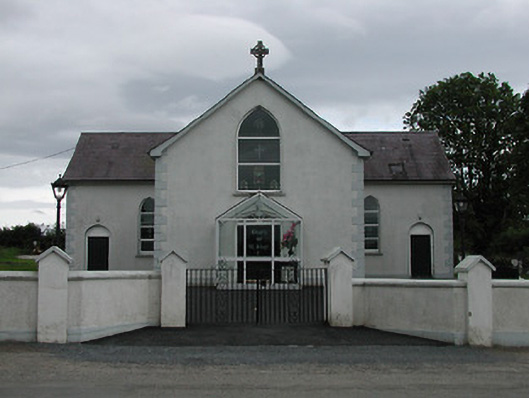 Saint Joseph's Catholic Churchchurch/chapel · 1044 yd
 IndicatedEnclosure · 1054 yd
 Grenanstown Househouse · 1066 yd
 Enclosure in Poulakerry (kilkeary Par.)Enclosure · 1.2 mi
 Interragh HillMountain / peak · 1.5 mi
 Knockacraheen HillMountain / peak · 1.9 mi
 Moat of LatteraghCastle, motte · 2.1 mi
 Millbrook Ho.Castle, unclassified · 2.2 mi
 Killavalla WoodForest · 2.3 mi
 Kyleroe WoodWood · 3.3 mi
 James Devaney MemorialMemorial · 5.2 mi
 Silvermines ViewpointViewpoint · 7.3 mi