What is recorded here
Situated on a natural rise, in low-lying wet pasture with marshy hollows in the vicinity. Depicted on the 1837 OS 6-inch map as a roughly rectilinear-shaped tree-lined earthwork. Described in 1971 as a rectilinear-shaped area (approx. dims. 37m NNW-SSE; 28m WSW-ENE) enclosed by an earthen bank which is reduced to a steep scarp having an intervening fosse and an outer bank. No clear entrance feature visible. The inner bank is best preserved at the SSE-side and elsewhere it is almost completely denuded down to the interior. There is a breach in the inner bank at the SW, NW and NNE corner. The intervening fosse is best preserved at the NNW and SSE-side, where it is steep, wide and flat-bottomed and is otherwise very slight elsewhere. The outer bank is best preserved at the NNW and SSE-side and is very slight elsewhere. It has a large gap at the SE corner and a breach at the NNE corner. The interior has a fairly smooth surface, which rises slightly from the perimeter toward the centre. A long rectangular house site (WM017-071001-) is located within. A low roughly oval-shaped mound outside the monument at SSE, which Is of unknown significance. A preservation order was placed on this monument on the 24/04/1987 (SMR File). Moated site visible today as a rectangular-shaped area enclosed by forestry on Digital Globe aerial photography.
See attached plan of monument surveyed and drawn by the ASI.
Compiled by: Alison McQueen, Vera Rahilly and Caimin O’Brien
Date of upload: 19 December 2018
The monument record does not grant public access. Check the route and ask the landowner before entering private land.
- What survives
- Recorded monument
Places near here
 Partially hachuredFairy fort / ringfort · 891 yd
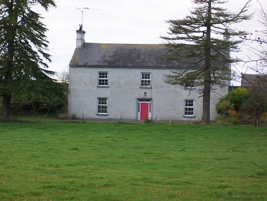 Dalystown Househouse · 1580 yd
 OutlinedFairy fort / earthen ringfort · 1629 yd
 Hachured, 420 ODCastle, motte · 1675 yd
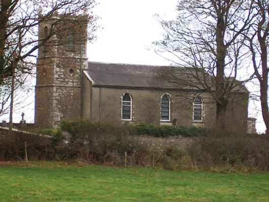 Saint Nicholas's Church (Ballymorin)church/chapel · 1676 yd
 CastleCastle, tower house · 1.9 mi
 Ancient Ring FortWood · 2.3 mi
 Sessile OakSessile Oak · 3.0 mi
 Abbeyshrule AbbeyRuins · 4.5 mi
 Craft WorkshopHeritage attraction · 5.2 mi
 Guest ServicesVisitor information · 5.2 mi
 Goldsmith Birthplace, PallasVisitor information · 5.5 mi