What is recorded here
In low-lying marshy pasture immediately to E of public road. Partially incorporated into S field boundary ESE->SW. Sub-rectangular area enclosed by inner and outer earthen banks with intervening fosse (Wth 4.2m). Well preserved inner bank (ext. H 1.6m) heavily masked by dense vegetation cover with cattle break (Wth 1.2m) at WSW. Outer bank (int. H 1.8m; ext. H 1.55m), best preserved SW->WSW, becomes low and spread out NNE->ESE. Waterlogged fosse (D 0.3m), fed by stream at W, contains dump of domestic rubbish at NW. Slight dip (D 0.2m; Wth 1.2m) runs along outer edge of outer bank NNE->ESE. Level interior under rough pasture, inaccessible along inner bank due to dense briar growth .
Compiled by: Denis Power
Date of upload: 26 August 2011
The monument record does not grant public access. Check the route and ask the landowner before entering private land.
- What survives
- Recorded monument
Places near here
 Burnt mound in Gardenfield SouthBurnt mound · 522 yd
 ToberacappeenSpring · 942 yd
 CastleCastle, unclassified · 1018 yd
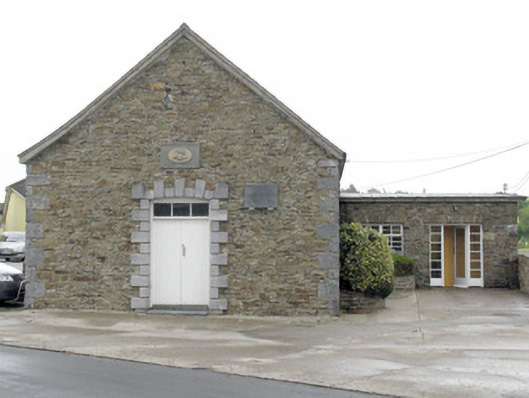 National Dairy Co-Operative Museumcreamery · 1332 yd
 National Co-op MuseumMuseum · 1333 yd
 DromcolliherSettlement cluster · 1379 yd
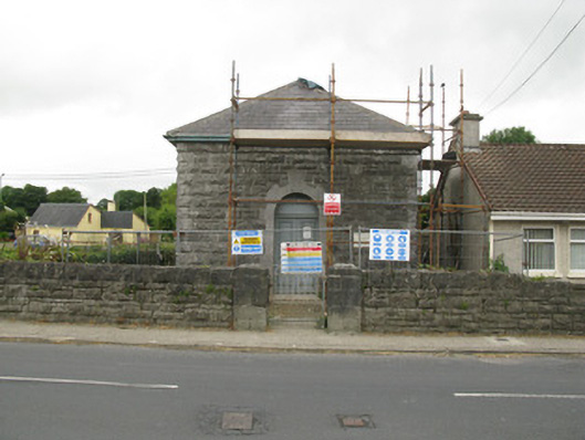 Dromcolliher Courthousecourt house · 1389 yd
 Castle LisheenCastle · 2.0 mi
 ToberhoranSpring · 2.6 mi
 Mullaghareirk - Banane LoopWalking route · 6.9 mi
 Battle of LiscarrollMajor battlefield · 7.4 mi
 Ballagh MountainMountain / peak · 7.7 mi