What is recorded here
Situated on a N-facing slope in pasture. A roughly square-shaped enclosure (dims. 28.7m N-S; 25.5m E-W) enclosed by a bank (Wth 3.7m; int. H 1.41m; ext. H 1m) and by a deep wide fosse (Wth 3.3m; D 1.28m) at S. A shallow fosse remains on the W side but there is no fosse on the N and E sides. The fosse, where evident, is not waterlogged. There are indications of possible cultivation ridges in the interior which slopes to the N. Apart from its straight sides this site would fit comfortably into a ringfort classification based on its typical sloping location.
The above description is derived from 'The Archaeological Inventory of County Tipperary. Vol. 1 - North Tipperary' compiled by Jean Farrelly and Caimin O'Brien (Dublin: Stationery Office, 2002). In certain instances the entries have been revised and updated in the light of recent research.
Date of upload/revision: 22 September 2008
The monument record does not grant public access. Check the route and ask the landowner before entering private land.
- What survives
- Recorded monument
Places near here
 Monaquill Ho.Castle, unclassified · 931 yd
 All Saints Catholic Churchchurch/chapel · 934 yd
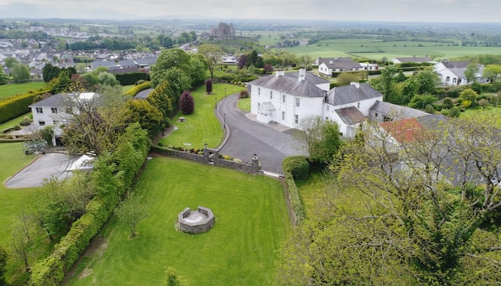 Enclosure in KilnaneaveEnclosure · 1170 yd
 LisnarahaCastle, ringwork · 1526 yd
 Enclosure in AddaneEnclosure · 1599 yd
 Ballincurra HillMountain / peak · 1.5 mi
 The Old Rectoryrectory/glebe/vicarage/curate's house · 1.6 mi
 Knockadigeen HillMountain / peak · 1.7 mi
 Killavalla WoodForest · 2.6 mi
 Sweet ChestnutSweet Chestnut · 3.3 mi
 Silvermines ViewpointViewpoint · 4.0 mi
 Our Lady Assumed into HeavenMemorial · 4.2 mi