What is recorded here
Situated on top of a prominent hill surrounded by gently undulating grassland overlooked by nearby hill to the E, with excellent views in all other directions. A raised sub-rectangular shaped area (approx. dims. 33m NW-SE; 20m N-S) enclosed by a well preserved earthen bank and shallow external fosse visible from N-SE. Small entrance gap through fosse and bank on the SE. The interior is sub-divided into two separate enclosures. The larger is sub-rectangular (approx. dims. 23m NW-SE-18m NE-SW) in shape, the smaller is at a lower level to the NW and is also rectilinear (dims. 14m NE-SW; 10m NW-SE) and seems to function as an annexe to the main enclosure. A low bank runs NE-SW across the interior of the main enclosure. A field fence running NNE-SSW intersects the perimeter of the monument from W to S. The trig[onometrical] station marking 380 ft. height as shown on the current OS 6-inch map is not visible on the ground.
See attached plan of monument surveyed and drawn by the ASI.
Compiled by: Frank Coyne and Caimin O'Brien
Date of upload: 29 August 2017
The monument record does not grant public access. Check the route and ask the landowner before entering private land.
- What survives
- Recorded monument
Places near here
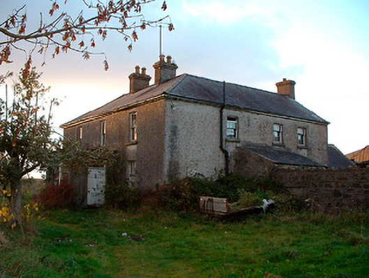 Johnstown Househouse · 568 yd
 Partially hachuredFairy fort / earthen ringfort · 690 yd
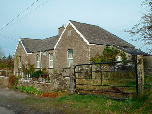 Balrath National Schoolschool · 830 yd
 IndicatedBawn · 1451 yd
 Enclosure in Sonna DemesneEnclosure · 1.3 mi
 Nugent's CastleCastle · 1.8 mi
 Carrickphilbin IslandIslet · 1.9 mi
 Srudarra IslandIslet · 2.7 mi
 Baronstown ForestWood · 3.2 mi
 Horse-chestnutHorse-chestnut · 3.3 mi
 Bridge Memorial (Kenna)Memorial · 4.3 mi
 Abbeyshrule AbbeyRuins · 8.6 mi