What is recorded here
Situated on a low E-W ridge, Hilltown House and castle (WM003-027----) 270m to NE. This site is not marked on any edition of the OS 6-inch maps. A roughly square-shaped area (diam. 32m N-S; 29m E-W) enclosed by a wide low earth and stone bank with evidence of internal stone facing at S & E. No clear entrance feature visible. Small piles of stone probably the result of field clearance lie against the outer edge of the bank along the SE side. The interior is level and free of scrub but has traces of old cultivation ridges running NW-SE across the monument.
Compiled by: Frank Coyne & Caimin O'Brien
Date of upload: 5 January 2017
The monument record does not grant public access. Check the route and ask the landowner before entering private land.
- What survives
- Recorded monument
Places near here
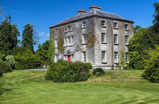 Hilltown Housecountry house · 298 yd
 IndicatedFairy fort / earthen ringfort · 334 yd
 Hilltown Castle (in ruins)Castle, tower house · 384 yd
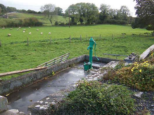 water pumpwater pump · 758 yd
 Parially HachuredFairy fort / ringfort · 1120 yd
 CastleCastle, unclassified · 1.3 mi
 Mullaghmeen ForestPicnic place · 2.0 mi
 Rock of CurryCliff · 3.0 mi
 European ashEuropean ash · 3.0 mi
 Seafin HillMountain / peak · 3.7 mi
 Silver FirSilver Fir · 3.7 mi
 Mount FortuneMountain / peak · 4.4 mi